The Pedraforca mountain, with its distinctive twin peaks reaching 2,497 meters, stands as one of Catalonia's most iconic summits. The Verdet Route offers the classic approach to this dramatic limestone massif, taking hikers through ancient forests, alpine meadows, and rocky terrain to reach the summit of the Pollegó Superior (main peak). This challenging full-day hike rewards those who complete it with unparalleled views across the Pre-Pyrenees and a genuine sense of mountaineering achievement.
Route Overview and Access
The Verdet Route (Camí dels Empedrats) begins at the Mirador del Gresolet parking area (1,150 m), located just off the road between Saldes and Gósol. This well-marked trail is the most popular route to Pedraforca's summit and typically takes 6-7 hours round trip. The path climbs steadily through beech and pine forests before emerging onto the open slopes below the mountain's dramatic north face.
From La Tor de Montclar, the drive to the trailhead takes approximately 25 minutes (20 km). Morning starts are essential, both to secure parking at the popular trailhead and to ensure you have sufficient daylight for the descent. The route gains approximately 1,350 meters of elevation, making it a serious undertaking that requires good physical fitness and mountain experience.
The Ascent: Forest to Alpine Zone
The first section of trail zigzags through dense forest, offering shade on hot days but limited views. After roughly 90 minutes, you'll reach the Refugi Lluís Estasen (1,670 m), a refugi (mountain hut) that provides shelter, water, and basic provisions. This serves as an excellent rest point before the more challenging terrain ahead.
Beyond the refugi, the landscape opens dramatically as you climb into the alpine zone. The path becomes rockier and steeper, following a series of well-constructed stone steps (the "empedrats" that give the route its name) carved into the mountainside. The views of Pedraforca's twin peaks—the Pollegó Superior (2,497 m) and Pollegó Inferior (2,445 m)—become increasingly impressive as you gain altitude.
The trail continues to the Enforcadura, the distinctive col or saddle between the two peaks at 2,356 meters. This dramatic notch offers stunning views both north and south and serves as the launching point for the final summit push. Most hikers take a break here to catch their breath and prepare for the last challenging section.
Summit Push and Technical Sections
From the Enforcadura to the summit of Pollegó Superior requires careful attention and steady nerves. The route follows a narrow path along the ridge with significant exposure on both sides. While technically classified as hiking rather than climbing, sections involve scrambling over rocks and using your hands for balance and security.
Fixed cables have been installed on the most exposed sections to provide additional security, though they should not replace proper caution and three-point contact with the rock. In wet or icy conditions, this section becomes genuinely dangerous and should not be attempted without proper equipment (crampons and ice axe in winter/spring conditions).
The final approach to the summit cross at 2,497 meters involves navigating a jumble of limestone blocks. The actual summit provides limited space for groups, so climbers often need to wait their turn during busy periods. The panoramic views are extraordinary: on clear days you can see the Mediterranean to the south, the main Pyrenean chain to the north, and countless peaks of the Pre-Pyrenees stretching in all directions.
Descent and Safety Considerations
The descent follows the same route, which requires particular care as most hiking accidents occur during descents when fatigue sets in. The exposed sections near the summit demand the same level of attention going down as going up. Many hikers find descending the cables and narrow ridge sections more psychologically challenging than the ascent.
Allow sufficient time for the descent—typically 3-3.5 hours from summit back to the parking area. Starting the descent no later than 2:00 PM ensures you'll reach the trailhead before dark, even if the hike takes longer than expected. The stone steps can be particularly hard on knees during the long descent, so trekking poles are highly recommended.
Weather, Timing, and Seasonal Considerations
Pedraforca's summit stands nearly 1,500 meters above the surrounding valleys, making it highly exposed to weather. Conditions can change rapidly, with afternoon thunderstorms common during summer months. Always check the mountain weather forecast (not just the general regional forecast) before setting out, and be prepared to turn back if conditions deteriorate.
The best season for this route runs from June through October, when the path is typically free of snow and ice. July and August offer the most stable weather but also the largest crowds—expect to share the trail and summit with many other hikers. September often provides an ideal combination of good weather and fewer people.
Early season ascents (May-early June) and late season climbs (late October-November) may encounter snow and ice, particularly on north-facing sections and near the summit. These conditions require winter mountaineering skills, equipment, and experience. Don't underestimate Pedraforca: despite being close to Barcelona, this is a serious mountain where multiple rescue operations occur each year.
What to Bring and Practical Tips
Essential items include: sturdy hiking boots with good ankle support, multiple clothing layers (it can be 20°C warmer at the trailhead than on the summit), sun protection (the limestone reflects intense sunlight), at least 2 liters of water per person, high-energy snacks, a headlamp (in case of unexpected delays), basic first aid supplies, and a fully charged mobile phone (coverage is generally good).
The Refugi Lluís Estasen sells drinks and snacks, but don't rely on this—carry your own supplies. Water is available at the refugi but not beyond it, so fill your bottles there if needed. Some hikers choose to overnight at the refugi (booking required) to split the hike over two days or to catch sunrise from the summit.
If you're staying at La Tor de Montclar, consider combining this hike with visits to nearby Saldes village and the excellent Restaurant Refugi de Saldes for a well-deserved post-hike meal. The entire Pedraforca experience—drive, hike, and celebratory meal—makes for a perfect full day adventure that will be among the highlights of your stay in the Catalan Pre-Pyrenees.
Practical information
6-7 hours (round trip)
Difficult
June to October
20 km (25 min)
2,497 m
Frequently asked questions
The Via Verdet (Camí dels Empedrats) is rated difficult, with 1,350 meters of elevation gain over 6-7 hours round trip. The final ridge to the summit involves exposed scrambling with fixed cables, requiring basic mountain experience and confident footwork.
The optimal window is June through October, when the path is free of snow and ice. September often combines stable weather with thinner crowds than the busy July–August peak season.
Sturdy ankle-support hiking boots, multiple clothing layers, sun protection, at least 2 liters of water per person, and trekking poles for the long descent are essential. In winter or early spring, crampons and an ice axe are required for the icy summit sections.
Discover Berguedà from La Tor de Montclar
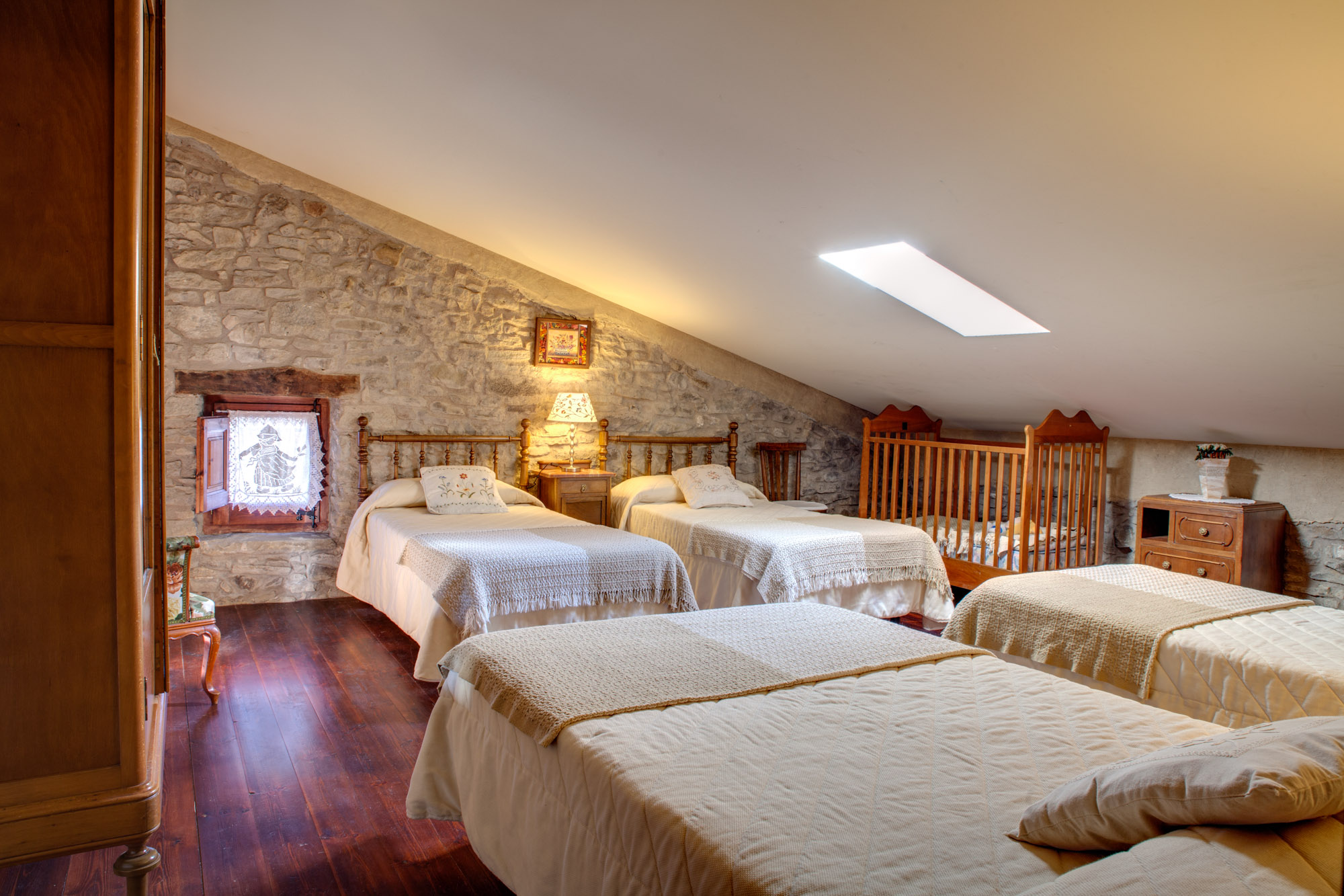
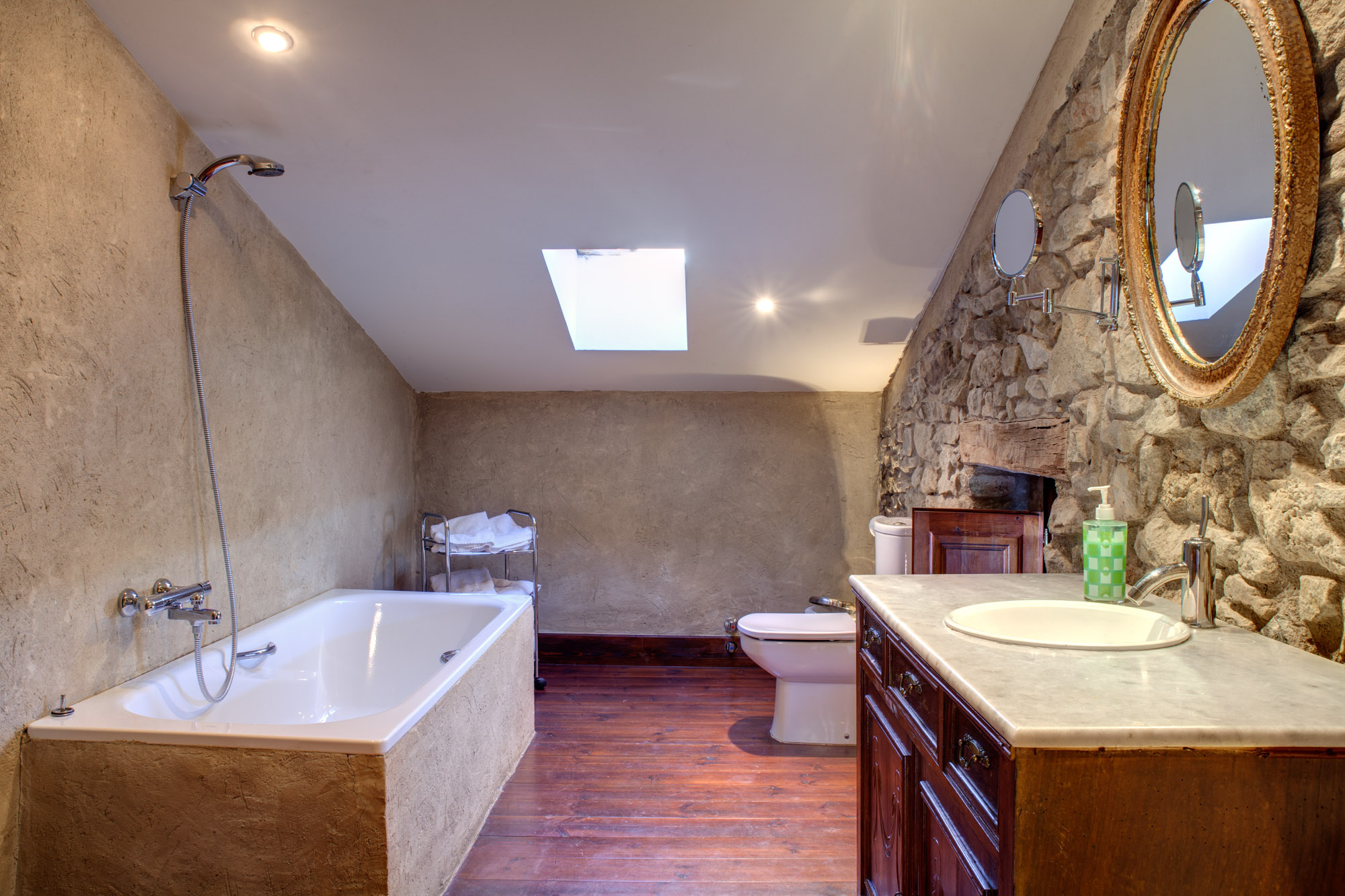
15th-century farmhouse with indoor pool, ideal for groups of up to 20 guests
Check availability