The Volta al Pedraforca is one of the most rewarding circular hikes in Catalonia, offering hikers the opportunity to circumnavigate the iconic bifurcated peak of Pedraforca without attempting its technical summit. This 22-kilometer route combines spectacular mountain scenery, diverse ecosystems, and a true sense of alpine adventure. Starting and finishing at Gósol, the trail winds through beech forests, high mountain meadows, and rocky terrain, providing constantly changing perspectives of this magnificent 2,497-meter limestone massif that has captivated mountaineers, artists and nature lovers for generations.
The Route and What to Expect
The Volta al Pedraforca typically begins in the charming mountain village of Gósol, located at 1,425 meters elevation. The circuit can be walked in either direction, though most hikers prefer the clockwise route which offers a more gradual ascent profile. The path is well-marked with yellow and white blazes throughout, following sections of the GR 150 and connecting with local trails.
The route climbs steadily from Gósol through dense beech and pine forests, reaching the Coll de Josa at approximately 1,680 meters. From here, the trail contours around the northern flanks of Pedraforca, passing through the stunning Gorgues valley where vertical limestone walls tower overhead. The highest point of the circuit reaches approximately 2,050 meters near the base of Pedraforca's north face, where you'll have breathtaking views of the distinctive twin peaks - the Pollegó Superior and Pollegó Inferior - separated by the famous Enforcadura saddle.
The descent follows the eastern slopes, passing through alpine meadows dotted with wildflowers in spring and summer, before dropping back into mixed forests and eventually returning to Gósol. The complete circuit typically takes between 7 and 9 hours, depending on your pace and the number of photo stops - and trust us, you'll want to stop frequently to capture the views.
Natural and Geological Highlights
Pedraforca is not just a mountain; it's a geological masterpiece. Formed from Eocene limestone pushed up during the Alpine orogeny, its distinctive forked shape is the result of millions of years of erosion. The mountain is part of the Cadí-Moixeró Natural Park, a protected area that encompasses some of the most biodiverse landscapes in the Catalan Pyrenees.
As you circle the massif, you'll traverse through multiple vegetation zones. The lower forests are dominated by Scots pine and holm oak, transitioning to beech and fir forests at mid-elevations. Above 1,800 meters, the landscape opens up to subalpine meadows with mountain pines and juniper bushes. In summer, these high pastures explode with wildflowers including gentians, saxifrages, and mountain orchids.
Wildlife is abundant, though often shy. Keep your eyes open for chamois (isards) on the rocky slopes, marmots in the meadows, and a variety of raptors including golden eagles and bearded vultures soaring on the thermals. The area is also home to red deer, wild boar, and occasionally, brown bears passing through from the western Pyrenees.
Historical and Cultural Context
Pedraforca has held a special place in Catalan culture and consciousness for centuries. Its name, meaning "stone fork" in Catalan, perfectly describes its unique silhouette that can be seen from Barcelona on clear days, over 100 kilometers away. The mountain has been a source of inspiration for writers, painters and musicians, and appears frequently in Catalan literature and art.
The village of Gósol, your starting point, has its own rich history. In 1906, Pablo Picasso spent the summer here, and the mountain landscape profoundly influenced his work during what became known as his "Gósol period," marking the transition toward his revolutionary Cubist style. You can visit a small museum in the village dedicated to his time there.
The trails you'll walk have been used for centuries by shepherds moving their flocks to high summer pastures, by smugglers crossing between valleys, and by pilgrims traveling ancient routes. Stone shepherds' huts (called barraques or cortals) can still be found along parts of the route, remnants of a pastoral way of life that has largely disappeared but left its mark on the landscape.
Practical Tips and Safety Considerations
This is a serious mountain hike that requires proper preparation. While the circuit doesn't involve any technical climbing, it's a long day with significant elevation gain (approximately 1,000 meters cumulative) and some exposed sections. Good physical fitness is essential, and previous mountain hiking experience is highly recommended.
Start early to avoid afternoon thunderstorms, which are common in summer months. Weather in the mountains can change rapidly, so carry layers including a waterproof jacket and warm clothing even on apparently sunny days. The high sections can be windy and significantly cooler than the valleys. Bring plenty of water (at least 2 liters per person) as reliable water sources are limited along the route, especially in late summer and autumn.
Proper hiking boots with good ankle support are essential - the terrain is rocky and uneven in many sections. Trekking poles are highly recommended, especially for the descents. Navigation is generally straightforward thanks to good waymarking, but bring a map and compass or GPS device as fog can occasionally obscure the path. Mobile phone coverage is patchy or non-existent in several sections.
Alternative Options and Variations
If the full 22-kilometer circuit seems too ambitious, several shorter alternatives exist. You can hike to the Mirador de Gresolet, which offers spectacular views of Pedraforca's north face, and return the same way - this makes for a moderate 4-5 hour round trip from Gósol. Another popular option is to ascend to the Enforcadura saddle between the twin peaks, which is more challenging but doesn't complete the full circuit.
For those wanting to extend their mountain experience, the nearby Refugi Lluís Estasen provides accommodation at 2,045 meters, nestled at the base of Pedraforca. Staying overnight allows you to split the circuit over two days, enjoy sunset and sunrise views, and attempt the summit of Pedraforca itself (which requires scrambling skills and is not part of the standard circuit).
The circuit can be walked year-round, though winter conditions require appropriate equipment including crampons and ice axes, and should only be attempted by experienced winter hikers. Spring offers spectacular wildflowers, summer provides the most stable weather, and autumn brings stunning foliage colors and clearer air for photography.
Getting There and Facilities
Gósol is accessed via the C-16 highway through the Túnel del Cadí, then following local roads through Bagà. The approach road is narrow and winding but well-maintained. Parking is available in Gósol village, though spaces fill up quickly on summer weekends - arriving early is advisable. During peak season, a small parking fee may be charged.
Gósol offers several restaurants, a couple of small hotels and guesthouses, and a shop where you can buy basic supplies. It's worth arriving the evening before your hike to acclimatize and start fresh in the morning. The village is charming and makes a pleasant base for exploring the area, with several other hiking options nearby.
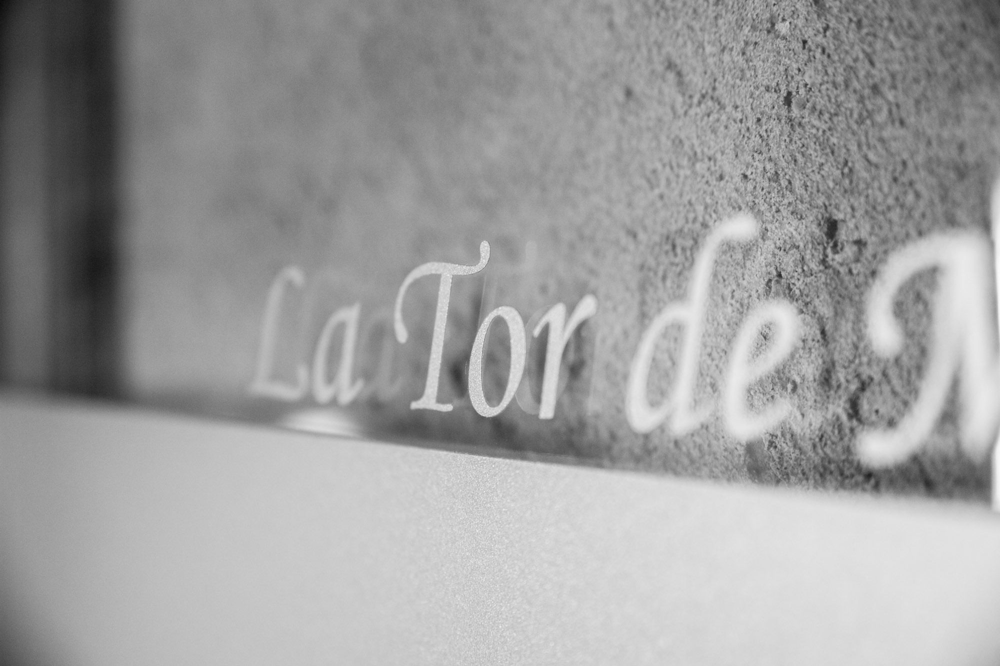
La Tor de Montclar is ideally located just 25 minutes from the trailhead, making it the perfect base for this adventure. After completing the circuit, you can relax in comfort knowing you have just a short drive back to your accommodation rather than facing a long journey home tired. We can provide detailed directions, current trail conditions, and arrange packed lunches for early starts.
Practical information
7-9 hours
Moderate
May to October
20 km (25 min)
1,300-2,050 m
Discover Berguedà from La Tor de Montclar
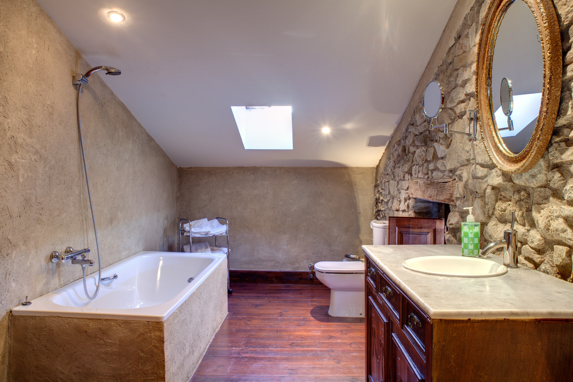
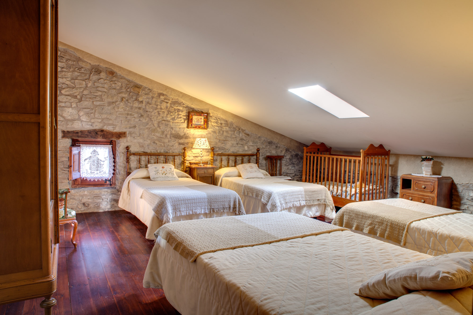
15th-century farmhouse with indoor pool, ideal for groups of up to 20 guests
Check availability