Beneath the Berguedà's forests and pastures lies a hidden world: hundreds of caves, sinkholes, and underground channels carved by water through soluble limestone over millions of years. This karst underworld contains archaeological deposits spanning 50,000 years of human occupation, paleontological sites preserving dinosaur tracks from 65 million years ago, and active hydrological systems that continue shaping the landscape. Exploring these underground spaces reveals both deep geological time and recent cultural history.
Karst Formation: Dissolving Limestone into Caves
Cave formation in the Berguedà results from karstification—the chemical dissolution of limestone bedrock by slightly acidic water. The process operates across millennia:
- Acidification: Rainwater absorbs atmospheric CO₂, forming weak carbonic acid (H₂CO₃). As water percolates through soil, organic decay adds more CO₂, increasing acidity to pH 5-6.
- Infiltration: Acidic water enters limestone bedrock through fractures and joints (cracks formed by tectonic stress).
- Dissolution: The acid reacts with calcium carbonate (CaCO₃), the primary component of limestone, dissolving it: CaCO₃ + H₂CO₃ → Ca²⁺ + 2HCO₃⁻. The calcium and bicarbonate ions remain dissolved in water.
- Cavity enlargement: Over thousands of years, continuous dissolution enlarges fractures into passages, passages into chambers. Flow concentrates along most soluble or fractured rock, creating non-uniform cave networks.
- Speleothem formation: When cave water degasses CO₂ (due to pressure change or air exposure), the dissolution reaction reverses: Ca²⁺ + 2HCO₃⁻ → CaCO₃ + H₂O + CO₂. Calcium carbonate precipitates as calcite crystals, forming stalactites (hanging from ceiling), stalagmites (growing from floor), flowstone (sheet-like deposits), and other speleothems.
This cycle—dissolution at the surface, precipitation underground—redistributes limestone, creating voids and redepositing material as speleothems. The Berguedà's caves range from small single-chamber cavities to multi-kilometre systems with vertical relief exceeding 200 metres.
Cave formation rates vary. In temperate climates with moderate rainfall (like the Berguedà), dissolution proceeds at roughly 0.01-0.1 mm per year. Large caves therefore represent hundreds of thousands to millions of years of development. Many Berguedà caves likely began forming during the Pliocene or Pleistocene epochs (5-2 million years ago).
Cova del Tabac: Archaeology and Smuggling
The Cova del Tabac (Tobacco Cave), located near Montclar, exemplifies how caves serve as palimpsests—layered records of use across vastly different timescales.
Archaeological excavations in the 1980s-1990s revealed stratified deposits containing:
- Paleolithic occupation (50,000-10,000 years ago): Stone tools (flint scrapers, blades, points) indicating Neanderthal and later anatomically modern human use. The cave provided shelter during glacial periods when the climate was significantly colder than today. Faunal remains include bones of red deer, ibex, and cave bear—species indicating mixed woodland-alpine environments.
- Neolithic-Bronze Age layers (6,000-3,000 years ago): Pottery fragments, polished stone axes, and animal bones showing pastoral use. The cave may have served as a seasonal shepherd shelter.
- Medieval-modern materials: Minimal occupation evidence, suggesting the cave was used sporadically if at all during this period.
- 19th-20th century smuggling: The cave's name derives from its use as a tobacco cache during the contraband trade. Smugglers moving goods between France and Spain via Pyrenean passes stored contraband in caves to avoid detection. Tobacco, coffee, and later penicillin and nylon stockings were common smuggled goods.
This stratigraphic sequence spans 50,000 years—from Neanderthal hunters to modern smugglers—illustrating how landscape features serve successive human needs across geological timescales. The cave's archaeological importance led to its protection; it is not publicly accessible without permission from heritage authorities, though its entrance is visible from forest paths.
Fumanya Dinosaur Footprints: Cretaceous Paleontology
The Fumanya site near Fígols contains one of Europe's most important ichnological (trace fossil) deposits: over 3,500 dinosaur footprints preserved on a near-vertical limestone surface tilted by tectonic forces.
Geological context:
- Age: Late Cretaceous, approximately 70-65 million years ago, just before the mass extinction that ended the dinosaur era.
- Original environment: A coastal mudflat near a shallow sea, with rivers depositing sediment. Dinosaurs walked across soft mud, leaving tracks that were then buried by subsequent sediment layers, preventing erosion.
- Preservation: The mud hardened into limestone. Tracks were preserved as casts—the overlying sediment filled the footprints, and when the mudstone layer eroded away, the casts remained as raised bumps on the overlying limestone surface.
- Tilting: Pyrenean tectonic collision (beginning ~50 million years ago) tilted the original horizontal sedimentary layers to near-vertical orientation, exposing the trackway surface as a cliff face.
Species represented:
- Titanosaurs: Large sauropod dinosaurs (long-necked herbivores) reaching 15-20 metres length. Their tracks show rounded impressions with claw marks—the largest exceed 1 metre diameter.
- Hadrosaurs: Duck-billed herbivorous dinosaurs producing three-toed tracks approximately 40 cm long.
- Theropods: Carnivorous bipedal dinosaurs (possibly related to Tyrannosaurus) with distinctive three-toed tracks showing sharp claws.
The site includes:
- Trackways: Sequential footprints showing direction of travel, stride length, and gait (walking vs. running). Analysis reveals herd behaviour—multiple individuals travelling together.
- Paleoecological data: Track density indicates this was a frequently traversed area, likely a migration route or feeding ground.
The Fumanya site is freely accessible year-round. A visitor centre in Fígols provides interpretive displays, and the trackway cliff includes interpretive panels identifying specific tracks. The site demonstrates how landscape reveals deep time—these footprints were made 65+ million years before humans evolved, yet remain legible to contemporary observers.
Visiting Caves and Karst Sites: Practical Information
Cave exploration options:
- Fumanya dinosaur tracks: Free access. From Fígols village, a 1.5 km walking path (30 min) ascends to the trackway cliff. The path is moderately steep but well-maintained. Visitor centre hours: 10:00-14:00 weekends (March-November); daily July-August. Allow 2-3 hours total including visitor centre and trackway visit.
- Guided caving: Several local adventure companies offer guided caving tours in the Berguedà, typically visiting systems in the Cadí massif. Tours range from beginner-friendly (horizontal passages, minimal technical difficulty) to advanced (vertical pitches requiring rope work). Equipment (helmets, headlamps, harnesses) provided. Half-day tours cost €40-60 per person; advance booking essential.
- Cova del Tabac: Not publicly accessible due to archaeological sensitivity. Visible entrance from forest paths near Montclar, but interior access requires permission from Catalan heritage authorities.
Safety considerations:
- Never enter caves alone or without proper equipment (helmet, multiple light sources, first aid).
- Inform someone of your plans and expected return time.
- Cave temperature remains constant ~10-12°C year-round—warm clothing essential even in summer.
- Flash floods can occur during heavy rain—never enter caves during storms.
- Respect all closures—some caves are protected bat hibernation sites closed seasonally.
Karst landscape features visible surface-side:
- Sinkholes (dolines): Surface depressions where underlying caves collapsed. Some forested hillsides show dozens of small sinkholes.
- Disappearing streams: Surface streams that vanish into ponors (swallets), flowing underground for kilometres before resurfacing.
- Springs: Points where underground water surfaces (discussed in the Springs article).
From La Tor de Montclar:
- Fumanya: 18 km south (25 min via C-16)
- Cova del Tabac entrance viewpoint: 3 km (10 min walk from property)
- Cadí caving areas: 25-40 km (contact guides for specific access)
The proximity of Fumanya makes it an essential visit for anyone interested in paleontology or deep geological time. Combining Fumanya with the Cercs Mining Museum (20 km from Montclar) creates a temporal journey from Cretaceous dinosaurs to 20th-century industrial coal mining—140 million years of geological and human history in a single day.
Practical information
3 km to Cova del Tabac area; 18 km to Fumanya
Discover Berguedà from La Tor de Montclar
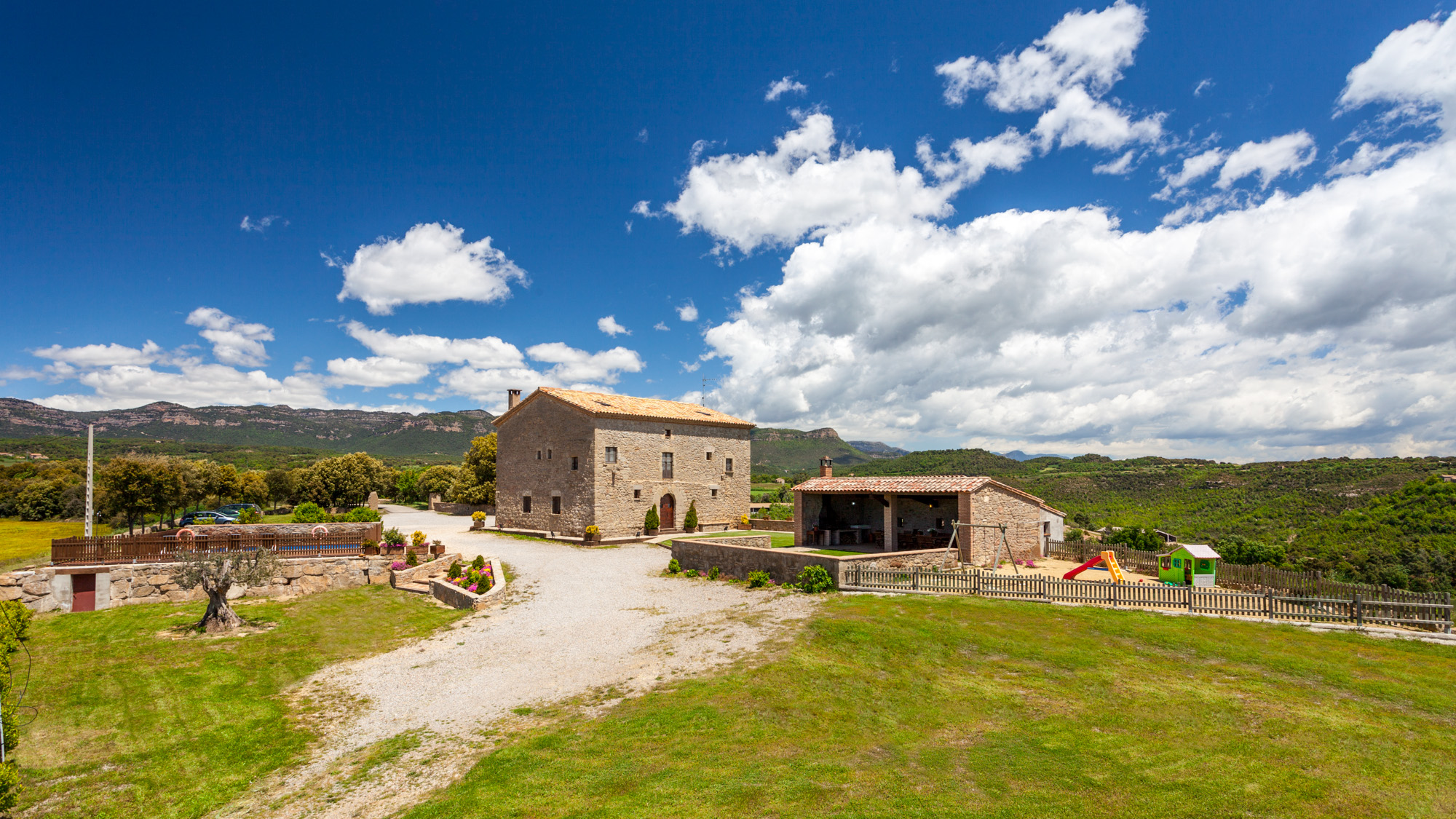
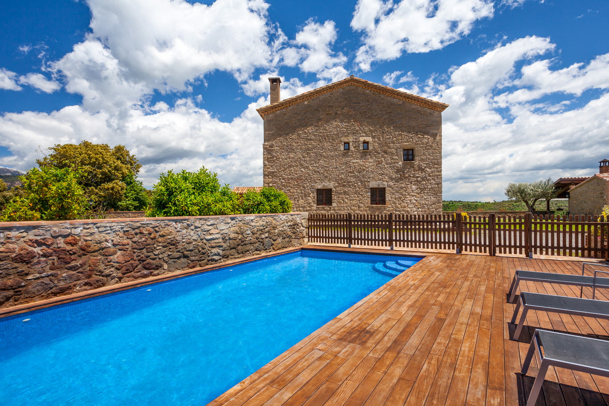
15th-century farmhouse with indoor pool, ideal for groups of up to 20 guests
Check availability