Springs (fonts) are where the Berguedà's invisible underground hydrology surfaces. Each spring marks a point where geological conditions force groundwater to emerge—limestone meeting impermeable rock, fracture networks intersecting the surface, or aquifer pressure exceeding confining layers. But springs are also cultural sites: watering points for shepherds, pilgrimage destinations, social gathering spaces, and repositories of local knowledge about water quality, seasonal variation, and landscape memory.
Karst Spring Mechanics: Where Water Surfaces
The Berguedà's abundant springs result from karst hydrology—the underground circulation of water through soluble limestone bedrock. The process operates as follows:
- Infiltration: Precipitation enters the ground through soil pores and bedrock fractures.
- Underground flow: Water percolates downward until reaching the water table (the depth at which fractures and pores are saturated). Water then flows laterally through the most permeable pathways.
- Emergence: Where the water table intersects the land surface, or where underground channels encounter impermeable rock layers, water emerges as springs.
Spring types in the Berguedà include:
- Contact springs: Emerge where permeable limestone overlies impermeable shale or granite. The Fonts del Llobregat exemplify this—water flowing through limestone surfaces dramatically where it reaches resistant Paleozoic basement rock.
- Fracture springs: Emerge along fault lines or major fractures where rock displacement creates permeable conduits. Many small forest springs occur at fault intersections.
- Overflow springs: Occur where the water table rises above the surface during high-flow periods (spring snowmelt, autumn rains), creating seasonal springs that dry in summer.
Spring discharge varies seasonally. Measurements at the Llobregat springs show flow ranging from 5,000 litres/second in May (snowmelt peak) to 1,000 litres/second in September (summer minimum). This five-fold variation reflects the karst aquifer's "flashy" response—rapid infiltration during rain, rapid drainage during dry periods. Unlike lowland aquifers with thick clay layers buffering input and output, karst systems respond quickly to precipitation changes.
Temperature also varies. Deep springs with long underground residence times maintain constant temperature near the annual average (10-12°C in the Berguedà). Shallow springs fluctuate seasonally, warming to 15-18°C in summer, cooling to 4-6°C in winter. Constant-temperature springs were historically prized for reliability—they indicated deep, stable aquifers less vulnerable to contamination or drought.
Emblematic Springs: A Hydrological Tour
The Berguedà contains hundreds of named springs, each with distinct characteristics:
- Fonts del Llobregat (Castellar de n'Hug): Catalonia's most famous spring, where the Llobregat river emerges from a limestone cliff at 1,295m elevation. The spring is a vauclusian resurgence—water from a large catchment area (approximately 50 km²) funnelled through underground conduits to surface at a single dramatic point. Flow averages 3,000 litres/second, enough to immediately form a substantial river. The spring's cultural significance—mythologised in poetry, appearing on tourist materials—exceeds its hydrological importance, demonstrating how landscape features become symbolic.
- Font de Tagamanent (Saldes): Located at 1,650m beneath the Pedraforca's north face, this spring emerges from talus (boulder scree) at the forest-alpine meadow ecotone. The water, filtered through fractured limestone, is exceptionally clear and cold (5-7°C even in summer). The spring feeds a stone trough carved from a single granite block—date unknown but likely medieval, evidencing centuries of shepherd use.
- Font Negra (Bagà): Named for dark moss covering the surrounding rocks, this spring emerges in a black pine (Pinus uncinata) forest within Cadí-Moixeró Natural Park. The setting is atmospheric—dim light beneath dense conifers, constant dripping sounds, cushions of bryophytes (mosses and liverworts) thriving in the perpetually moist microclimate.
- Font de la Tosca (Gósol): A petrifying spring where high calcium carbonate content precipitates as travertine (a porous limestone) coating rocks, vegetation, and any objects placed in the flow. The process creates delicate mineral encrustations resembling frozen waterfalls. Travertine formation requires specific chemistry: calcium-rich water, CO₂ degassing, and suitable substrate for crystal nucleation.
These springs demonstrate hydrological diversity—from massive vauclusian resurgences to modest seepage springs, from deep-source constant-temperature flows to shallow seasonal sources, from neutral-chemistry water to calcium-supersaturated petrifying springs.
Cultural Spring Geography: Social Meanings of Water
Springs hold cultural significance extending far beyond hydrology:
- Watering points: For transhumant shepherds, springs marked rest stops and grazing areas. Spring locations were memorised knowledge transmitted across generations. The names preserve this function—Font del Pastor (Shepherd's Spring), Font de les Ovelles (Sheep's Spring).
- Pilgrimage sites: Some springs became associated with saints or miracles. Font Santa (Holy Spring) near Berga supposedly cured ailments; pilgrims visited on specific feast days. This pattern, common across Catholic Europe, fused pre-Christian water veneration with Christian hagiography.
- Territorial markers: Springs often marked municipal boundaries or property limits. The expression "de la font a la serra" (from the spring to the ridge) indicates a land parcel extending from valley bottom to mountain crest.
- Social gathering points: Village fountains (fonts) served as communal laundry sites, livestock watering points, and social centres. Women washing laundry exchanged news, creating informal information networks. This social function persisted into the 1960s when piped water eliminated the need for communal fountains.
Spring names encode folk taxonomy of water qualities:
- Font Freda (Cold Spring): Deep, constant-temperature springs.
- Font Grossa (Big Spring): High-discharge springs.
- Font del Ferro (Iron Spring): Water with ferrous minerals, recognisable by rust-coloured precipitate.
- Font de la Puda (Stinky Spring): Sulphurous springs with characteristic rotten-egg smell.
This naming reveals empirical observation—communities distinguished spring types based on temperature, flow, colour, smell, and taste, developing practical knowledge of hydrogeology centuries before formal geology existed.
Spring Routes and Visiting Practicalities
Several routes facilitate spring exploration:
- Bagà Fountain Circuit: An 8 km loop connecting four springs around Bagà, passing through mixed forest (oak, beech, pine) with modest elevation gain (300m). The route visits Font Negra, Font de la Teula, Font del Pi, and Font del Roure. Allow 3-4 hours including stops. Trailhead: Bagà main square (parking available).
- Gósol Springs Trail: A 6 km route from Gósol village (1,423m) to Font de Tagamanent (1,650m), ascending through subalpine meadows with Pedraforca views. Moderate difficulty; 3 hours round-trip. The trail continues to Gresolet refuge (additional 2 hours) for ambitious hikers.
- Fonts del Llobregat Access: From Castellar de n'Hug village, a 1.5 km paved walking path (wheelchair accessible) descends 100m to the springs. Interpretive panels explain karst hydrology. The site includes picnic areas and public toilets. Very high summer visitation—early morning or weekday visits recommended for tranquillity.
Practical considerations:
- Water potability: Most Berguedà springs produce drinkable water, but increasingly, authorities recommend against consumption due to potential contamination from wildlife or agricultural runoff. Locals still fill bottles at trusted springs, relying on traditional knowledge. The safest approach: observe locals' practices.
- Seasonal access: High-elevation springs (above 1,500m) may be snow-inaccessible December-April. Font de Tagamanent typically becomes accessible May-June depending on snowpack.
- Equipment: Bring reusable bottles if you wish to sample water. Respect spring infrastructure—don't disturb troughs, pipes, or rock cairns marking sources.
From La Tor de Montclar:
- Fonts del Llobregat: 35 km north (40 min via C-16 + LV-4024)
- Bagà springs circuit: 18 km north (25 min to Bagà trailhead)
- Gósol springs: 30 km north (45 min to Gósol village)
The diversity of accessible springs within 45 minutes makes the Berguedà ideal for comparative spring study—visitors can experience massive resurgences, forest seeps, and petrifying springs in a single day, gaining intuitive understanding of how geology shapes hydrology.
Practical information
10-35 km to major springs (15-45 min)
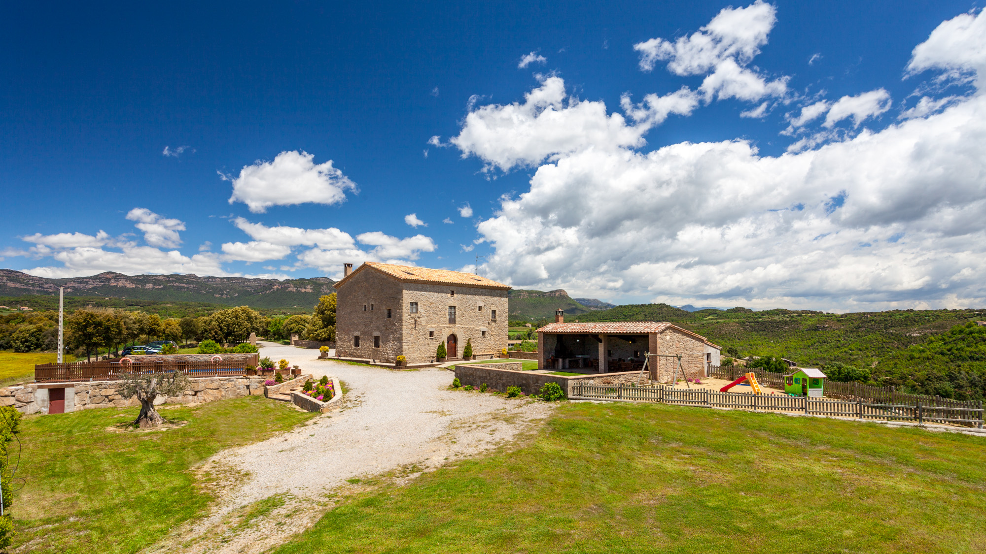
Discover Berguedà from La Tor de Montclar
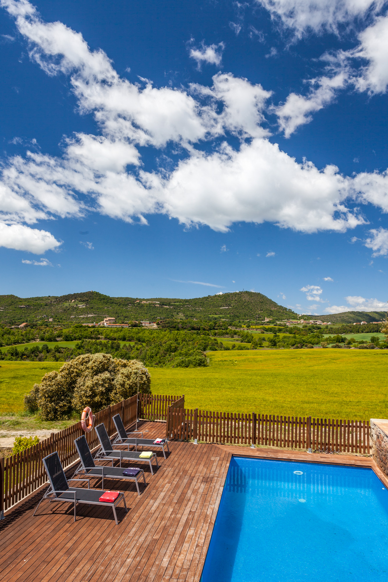
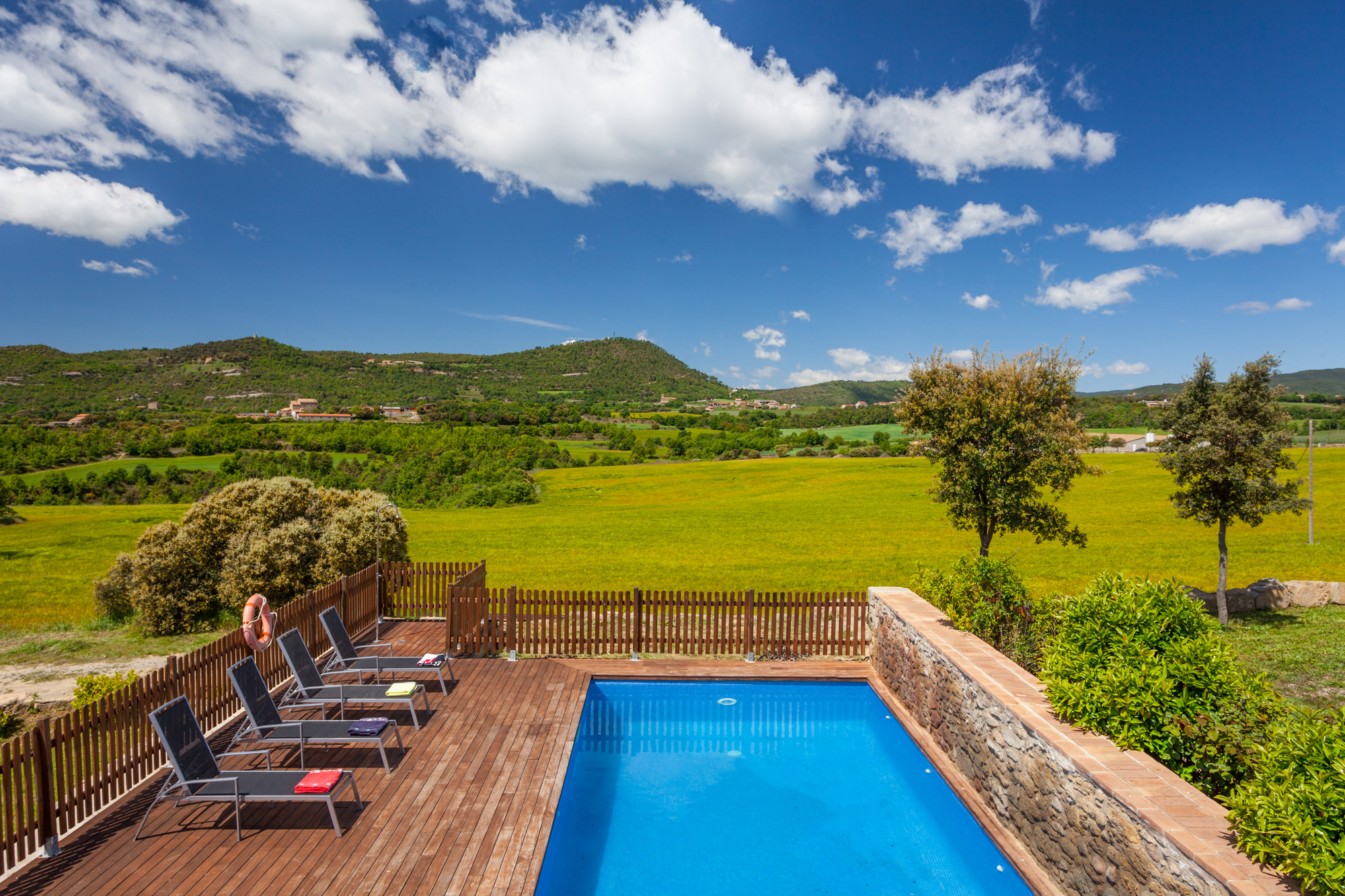
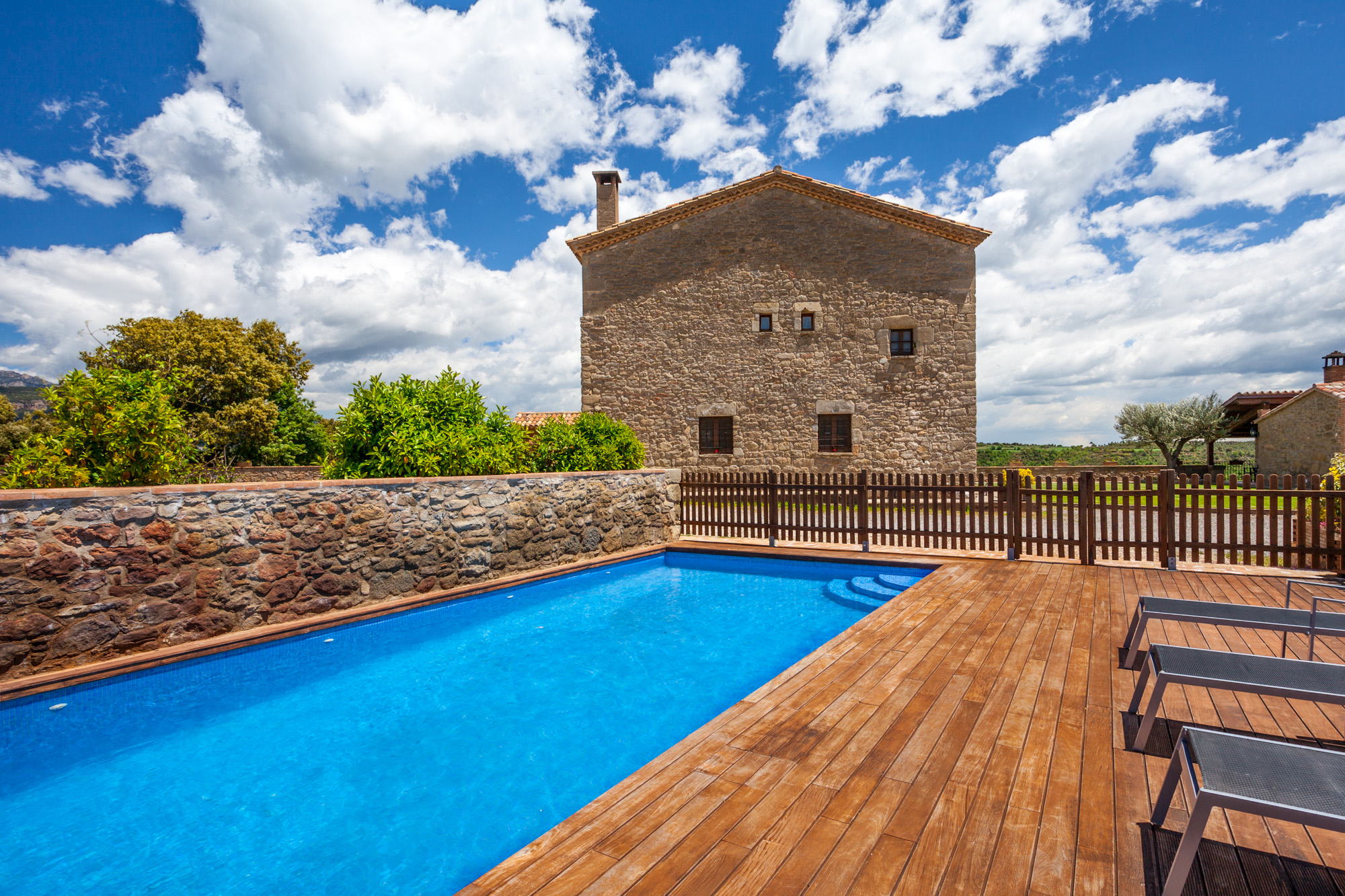
15th-century farmhouse with indoor pool, ideal for groups of up to 20 guests
Check availability