The Berguedà preserves exceptional Romanesque bridges—stone arch structures built between the 11th and 13th centuries that demonstrate medieval engineering capabilities and reveal the geography of pre-modern communications. These bridges are more than picturesque ruins; they are functional structures that carried traffic for 800+ years, connecting villages, markets, and sanctuaries across a landscape fragmented by rivers and ravines. Understanding these bridges means understanding medieval spatial economy.
Romanesque Engineering: The Geometry of Stone Arches
Romanesque bridges employ the semicircular arch—a structural form inherited from Roman engineering that remained dominant in Europe from roughly 500 CE to 1200 CE, when Gothic pointed arches began to appear.
The semicircular arch's structural logic is elegant:
- Geometry: The arch curve is a perfect semicircle with radius equal to half the span. This generates a catenary-like form (though not mathematically identical), distributing loads efficiently.
- Voussoirs: The arch consists of wedge-shaped stones (voussoirs) laid radially. Each voussoir is compressed by adjacent stones and the load above, converting vertical weight into outward thrust against the abutments (the supports at each end).
- Keystone: The central top voussoir (clau in Catalan) is installed last, locking the arch. Once in place, the arch becomes self-supporting—individual stones cannot fall because neighbouring stones constrain them.
- Abutments: The arch's outward thrust must be resisted by massive abutments or bedrock anchoring. Poorly designed abutments allow the arch to spread and collapse.
Medieval master masons (mestres picapedrers) lacked structural engineering theory but possessed empirical knowledge transmitted through craft guilds. They understood that:
- Span/rise ratio should be approximately 2:1 for semicircular arches (span = bridge width; rise = height from arch base to crown).
- Abutments should be at least 1/3 the span width to resist thrust.
- Foundations must reach bedrock or well-compacted gravel to prevent settling.
- Mortar joints should be thin and fully packed to distribute loads evenly.
These rules, derived from observation and refined over centuries, produced structures that have lasted nearly a millennium—testament to empirical knowledge's power.
Notable Bridges: A Regional Inventory
The Berguedà contains several Romanesque bridges of architectural and historical significance:
- Pont de Pedret (Cercs): Single-arch bridge spanning the Llobregat near the pre-Romanesque church of Sant Quirze de Pedret (9th-10th century). The bridge's construction date is undocumented but stylistically consistent with 11th-century work. The arch span is approximately 12 metres with a rise of 6 metres—classic 2:1 proportion. The bridge served the route from Berga to La Pobla de Lillet, carrying commercial traffic until a modern bridge was built in the 1960s. The Pedret bridge remains pedestrian-accessible, offering close examination of masonry technique.
- Pont Vell de La Pobla de Lillet: Three-arch bridge across the Llobregat, unusual for incorporating a chapel dedicated to Sant Antoni built atop the central pier. This arrangement—sacred architecture integrated into utilitarian infrastructure—appears occasionally in medieval bridges (e.g., Pont Saint-Bénézet in Avignon, France). The chapel served as a wayside shrine where travellers could pray for safe passage. The bridge dates to the 12th century with later modifications; the chapel was rebuilt in the 17th century after flood damage.
- Pont de Queralt (Berga): Single-arch bridge crossing a tributary stream on the pilgrimage path from Berga to Queralt sanctuary. The bridge is modest (5-metre span) but elegantly proportioned, set in mature beech forest. The approach paths retain original stone paving in sections—rare preservation of medieval roadbed.
- Pont del Clop (Guardiola de Berguedà): Small bridge over the Bastareny river in a secluded valley setting. The bridge served a minor route connecting isolated farmsteads to the Bagà market. Its modest scale and remote location meant minimal later alteration, preserving original medieval fabric.
These bridges demonstrate functional hierarchy: the multi-arch Pobla bridge on a primary route versus modest single-arch structures on secondary paths. This differentiation reveals the medieval road network's organisation—major commercial routes warranted substantial investment while local paths received minimal infrastructure.
Bridges in the Medieval Road Network: Spatial Economics
Romanesque bridges were strategic infrastructure controlling movement across the landscape. Their placement reflects medieval spatial economy:
- Market access: Bridges connected agricultural hinterlands to market towns (Berga, Bagà, La Pobla). Farmers needed reliable river crossings to transport grain, wool, and livestock to weekly markets. Bridge failure meant economic isolation.
- Pilgrimage routes: The Queralt sanctuary pilgrimage from Berga required crossing multiple streams. Bridges facilitated devotional traffic, generating revenue for innkeepers and merchants along the route.
- Transhumance paths: Shepherd droveways (carrerades) needed bridges wide enough for flocks. Some bridges show wear on parapets where centuries of sheep rubbed against stone.
- Strategic control: Bridge control meant territorial power. Feudal lords charged tolls (pontatge) for bridge use—a significant revenue source documented in medieval charters. The right to collect tolls was granted by the crown and could be bought, sold, or inherited.
Bridge destruction was a common military tactic during medieval conflicts. Catalan civil wars (13th-15th centuries) and later Carlist Wars (19th century) saw repeated bridge demolitions to hinder enemy movement. The survival of Romanesque bridges indicates either military insignificance or post-conflict reconstruction.
Some bridges incorporated defensive features:
- Removable wooden planks on the roadbed, withdrawable to deny access.
- Gatehouses controlling bridge approaches (now demolished on Berguedà bridges, but documented in historical sources).
- Narrow width (2-3 metres) limiting to single-file traffic, easier to defend.
These features blur the line between infrastructure and fortification, revealing how medieval communications were military concerns.
Visiting Romanesque Bridges: Routes and Interpretation
A comprehensive bridge tour can be completed in a day:
- Morning (Cercs-La Pobla):
- Start at Pont de Pedret (Cercs): Parking at Sant Quirze de Pedret church (200m walk to bridge). Combine bridge with church visit—exceptional pre-Romanesque murals (reproductions; originals in Solsona museum). Allow 1.5 hours total.
- Drive to Pont Vell de La Pobla de Lillet (15 km, 20 min). Park in La Pobla historic centre, walk 500m to bridge. Examine the Sant Antoni chapel and three-arch structure. Allow 1 hour.
- Afternoon (Berga-Guardiola):
- Drive to Pont de Queralt trailhead near Berga (25 km, 30 min). The bridge is 1.5 km walk from parking (30 min each way, forest path). Allow 2 hours including bridge examination and forest walk.
- Conclude at Pont del Clop near Guardiola (12 km, 15 min). Short walk from roadside parking (200m). Allow 30 minutes.
Total driving: ~60 km; total time: 6-7 hours including stops.
Interpretive approach:
- Structural observation: Examine voussoir shaping, mortar composition, abutment construction. Notice variations in masonry quality—some sections show careful ashlar (squared stone blocks), others show rougher rubble masonry, indicating repairs or budget constraints.
- Contextual landscape: Consider why bridges sit at specific locations. Often they mark fords—shallow crossings usable in summer but impassable during spring floods. Bridges guaranteed year-round passage.
- Material culture: Bridges preserve tool marks—chisel patterns on voussoirs, Lewis hole traces (for lifting stones), centering timber impressions (wooden forms supporting arches during construction). These marks document construction techniques.
From La Tor de Montclar:
- Pont de Pedret: 20 km south (25 min)
- Pont Vell de La Pobla: 25 km south (30 min)
- Pont de Queralt: 18 km south (25 min to trailhead)
- Pont del Clop: 22 km northeast (30 min)
The compact distribution allows a single-day circuit, or individual bridges can be combined with complementary sites (Pedret with Sant Quirze church, Pobla bridge with Gaudí's Jardins Artigas, Queralt bridge with pilgrimage to Queralt sanctuary).
Practical information
18-25 km to bridges (20-30 min)
Discover Berguedà from La Tor de Montclar
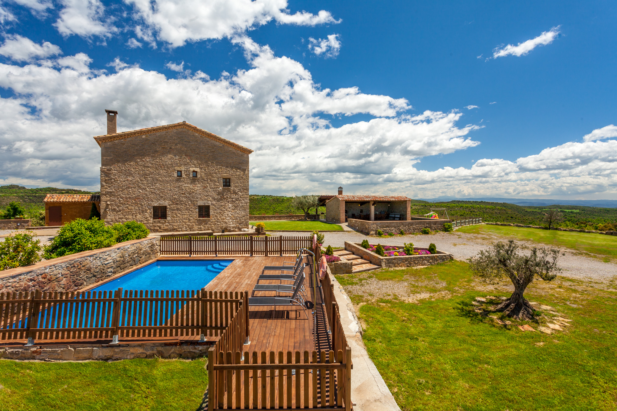
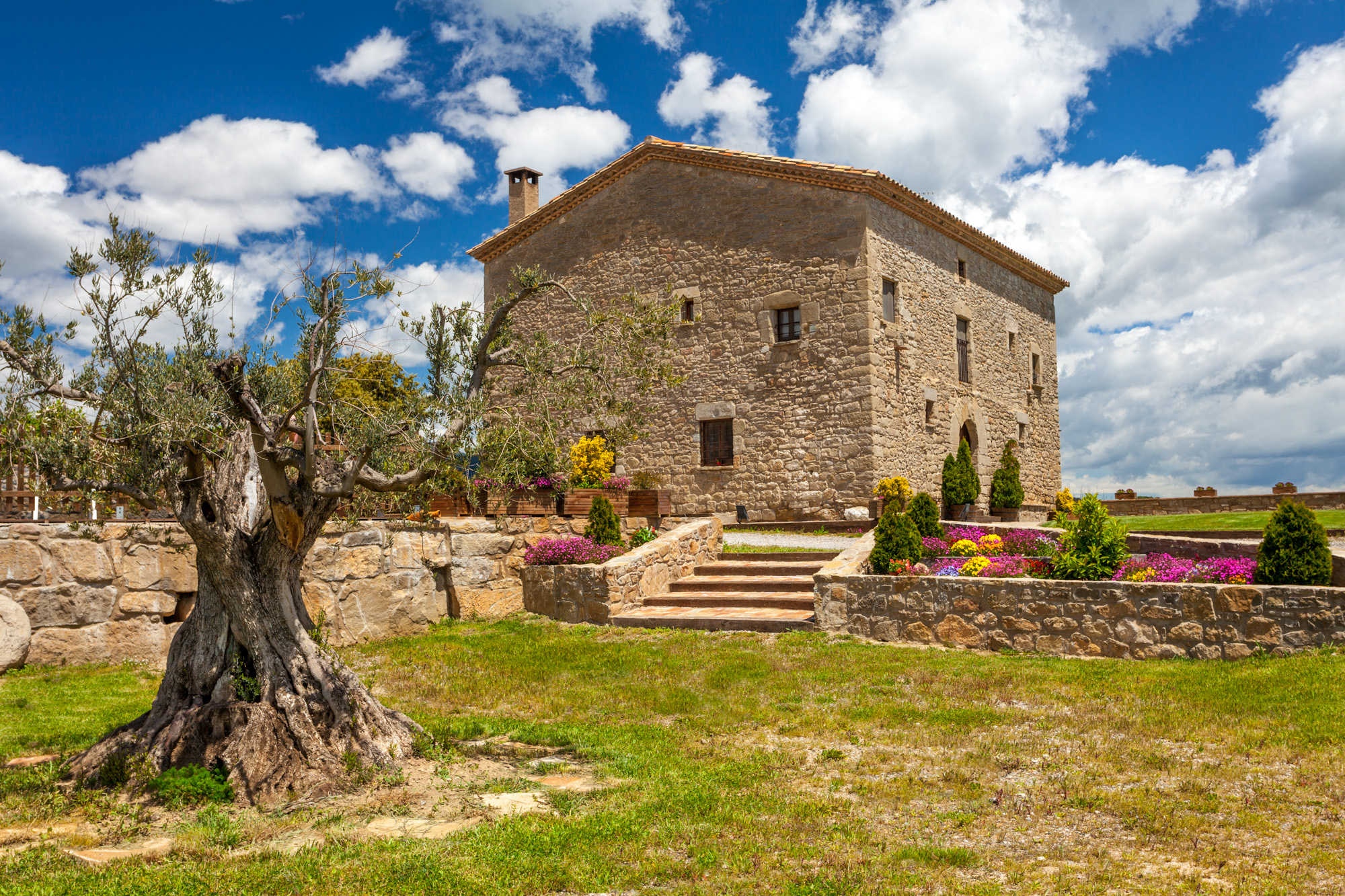
15th-century farmhouse with indoor pool, ideal for groups of up to 20 guests
Check availability