Before modern engineered highways, the Berguedà was articulated by a dense network of paths—royal roads, bridle paths, shepherd routes, and footpaths connecting every settlement, spring, pasture, and mountain pass. These routes were neither arbitrary nor informal; they represented collectively maintained infrastructure governed by customary rights, royal decrees, and local agreements. Walking these paths today offers insight into pre-modern spatial practices and the physical effort required to move through mountain terrain without mechanised transport.
The <em>Camí Ral</em>: Definition and Legal Status
The term camí ral (royal road, plural camins rals) designated public routes under royal authority—as distinct from private paths controlled by landowners. "Royal" indicated:
- Public access: No tolls could be charged without royal permission; anyone could use the road for lawful purposes.
- Maintenance obligations: Adjacent municipalities were required to maintain passable roadbed, clear winter snow, and repair bridges.
- Regulated width: Royal roads had minimum width specifications (typically 2-3 metres) to allow pack animal passage and, in wider sections, cart traffic.
- Legal protection: Crimes committed on royal roads carried enhanced penalties; royal roads were considered crown property.
The most important Berguedà royal road was the Barcelona-Cerdanya route, which ascended from the lowlands through Berga, continued north through Bagà, and crossed the Cadí range via the Coll de Jou pass (1,580m) to reach the Cerdanya plateau and, beyond, the Pyrenean passes to France. This route carried:
- Commercial traffic: Salt from Cardona moving north; livestock from the Cerdanya moving south; textiles, tools, and manufactured goods in both directions.
- Military movements: Armies traveling between Catalonia and France during medieval conflicts (Catalan-French wars, Carlist Wars).
- Pilgrims: Religious travellers heading to Pyrenean sanctuaries or continuing to Santiago de Compostela via French routes.
- Official communications: Royal messengers, tax collectors, judges traveling between administrative centres.
The road's importance meant investment in infrastructure: stone paving on steep sections, bridges at major river crossings, and hospitals de camí (wayside shelters) offering basic accommodation.
Road Engineering: Medieval Construction Techniques
Royal road construction varied by terrain:
- Valley-floor sections: Unpaved but graded earth roads, sometimes with drainage ditches to prevent waterlogging. Cart-passable but muddy during wet periods.
- Steep sections: Stone paving using local materials. Techniques included:
- Empedrat (cobbling): Small rounded stones set in earth or sand, creating durable but irregular surfaces.
- Lloses (flagstones): Large flat stones laid as stepping surfaces, especially on the steepest grades. These created staircases where slopes exceeded ~15%.
- Murs de contenció (retaining walls): Dry-stone walls supporting roadbed on hillsides, preventing erosion.
- River crossings: Romanesque stone bridges (discussed in the Bridges article) or, at minor crossings, fords marked by cairns showing safe passage routes.
Paved sections required significant labour. Stone was quarried locally, shaped by hand, and transported to the road alignment. Skilled masons (traginers) laid stones with slight convex cross-section (cambering) to shed water toward edges. Well-built paved roads could last centuries with minimal maintenance—many Berguedà paths still use medieval paving.
Road gradients were limited by pack animal capabilities. Mules and donkeys (primary cargo carriers) can manage sustained grades up to 15-20%, but steeper sections required zigzag switchbacks. Modern hikers often notice that old paths take circuitous routes rather than direct ascents—this reflects animal transport constraints.
Path Hierarchy: From Royal Roads to Shepherd Trails
Not all paths were royal roads. The Berguedà's pre-modern path network included:
- Camins rals (royal roads): Major routes, maintained, cart-passable in places, with bridges and paving. Example: Barcelona-Cerdanya via Berga.
- Camins de ferradura (bridle paths): Secondary routes, pack-animal width, minimal paving, maintained by local communities. These connected villages to main roads.
- Carrerades (droveways): Transhumant routes for livestock movement. Often very wide (10-20 metres) to accommodate flocks of 1,000+ sheep. Legally protected from encroachment—farmers could not plough droveways.
- Senderes (footpaths): Narrow trails (0.5-1 metre width) for pedestrian use only. Connected farmsteads, fields, springs, and pastures.
- Gorges (gorges/gullies): Not intentional paths but natural routes followed where easier than traversing ridges. Gorges often contained streams, requiring frequent crossings.
This hierarchy is still visible. Wide graded paths indicate former royal roads or major bridle paths; narrow single-track trails indicate footpaths or shepherd routes. Understanding this hierarchy helps interpret landscape—wide paths in remote areas indicate those areas once saw significant traffic, revealing historical settlement or economic patterns no longer obvious.
Walking Historic Routes: Contemporary Access and Interpretation
Many historic paths are now incorporated into the GR (Gran Recorregut) long-distance trail network:
- GR 1 (Sender Històric): Follows historical routes across Catalonia, including sections through the Berguedà paralleling the old royal road. The trail is marked with red-and-white paint blazes on rocks and trees.
- GR 150 (Sender del Berguedà): A 140 km circuit around the region, combining historic paths with newer connector trails. The complete circuit requires 7-9 days; individual stages can be walked as day hikes.
- GR 107 (Sender dels Bons Homes): The Cathar Trail from Berga northward following the escape route of Cathar heretics in the 13th century. This trail uses historic royal road sections including the ascent to Coll de Jou.
Recommended day walks on historic paths:
- Bagà to Coll de Jou section: 12 km, 700m elevation gain, 4-5 hours. This stretch preserves exceptional stone paving through black pine forest. The path is well-maintained; some sections show original medieval paving. Trailhead: Bagà main square. The path can be walked one-way with car shuttle at Coll de Jou, or as an out-and-back.
- Berga to Queralt path: 5 km, 600m elevation gain, 2.5 hours ascent. The traditional pilgrimage route with Stations of the Cross. Mostly stone-paved. Combines historical path-walking with cultural site (Queralt sanctuary) at destination.
- Camí Ral de Gósol: Sections of the historic route from Bagà to Gósol preserve medieval paving. The full route (18 km, challenging terrain) or shorter sections near Gósol offer authentic historic path experience.
Interpretive approach while walking:
- Read the surface: Note transitions between paving styles—rough cobbles on less-important sections, carefully fitted flagstones on steep grades or high-traffic areas.
- Identify infrastructure: Look for retaining walls (indicating intentional road construction), bridge abutments (even where bridges have disappeared), and boundary markers (carved stones or crosses marking municipal limits).
- Consider logistics: A loaded mule carries 100-150 kg. A day's journey was 20-30 km depending on terrain. Rest stops were needed every 2-3 hours. Thinking in these terms reveals why certain locations developed as villages or inn sites—they sit at natural rest intervals along major routes.
From La Tor de Montclar, historic path access:
- Bagà to Coll de Jou trailhead: 18 km north (25 min)
- Berga to Queralt trailhead: 15 km south (20 min)
- GR 150 nearby access points: multiple locations within 10-20 km
The immediate Montclar area itself contains historic paths—local inquiry can identify routes connecting Montclar to neighboring villages (Fígols, Cercs) via paths predating motor roads. These offer short walks (2-4 km) through immediately surrounding landscape, revealing how the farmhouse integrates into centuries-old communication networks.
Practical information
0-20 km (historic paths from property itself; major trailheads within 25 min)
Discover Berguedà from La Tor de Montclar
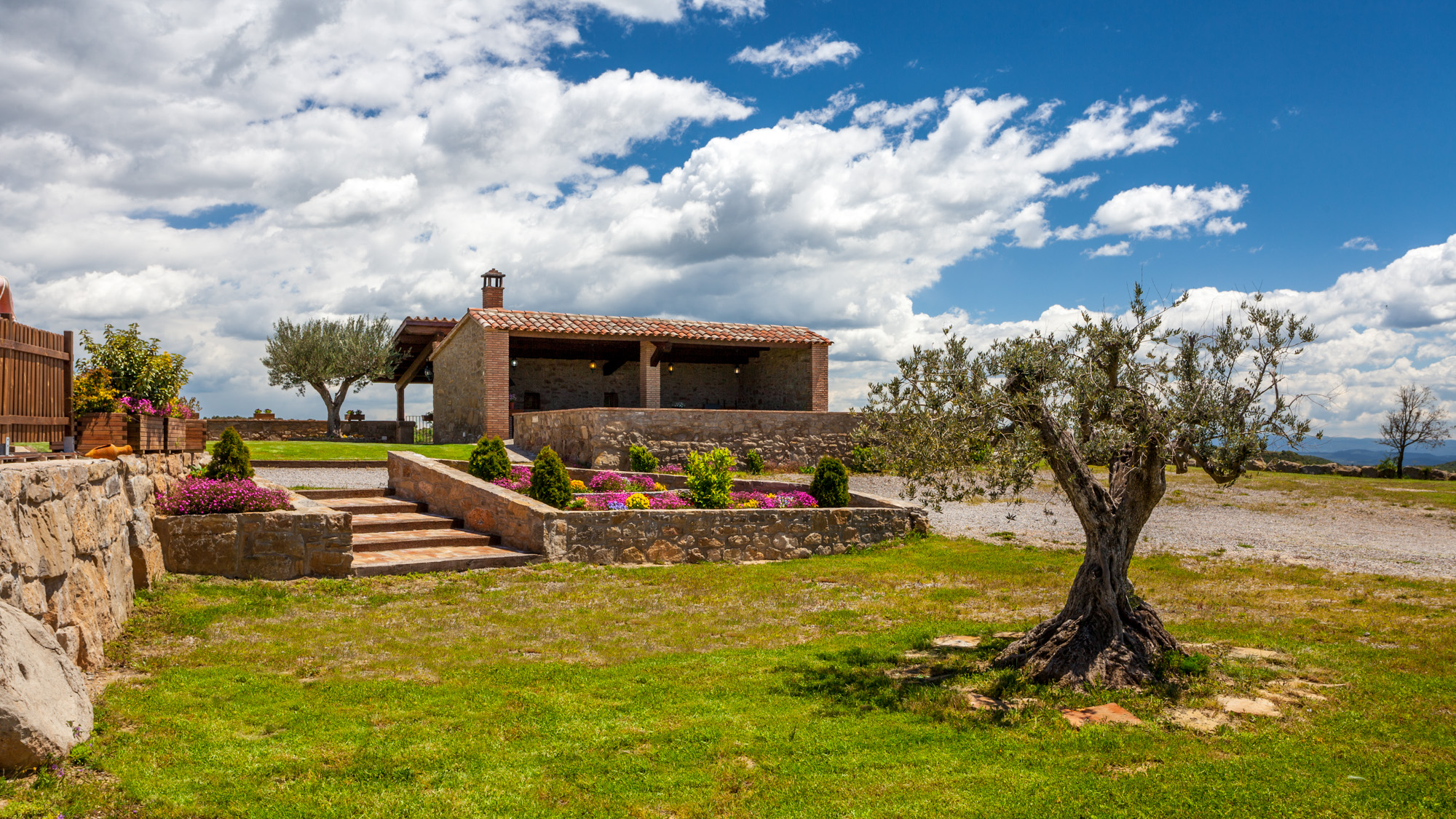
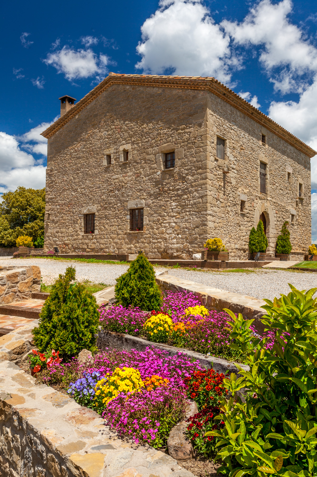
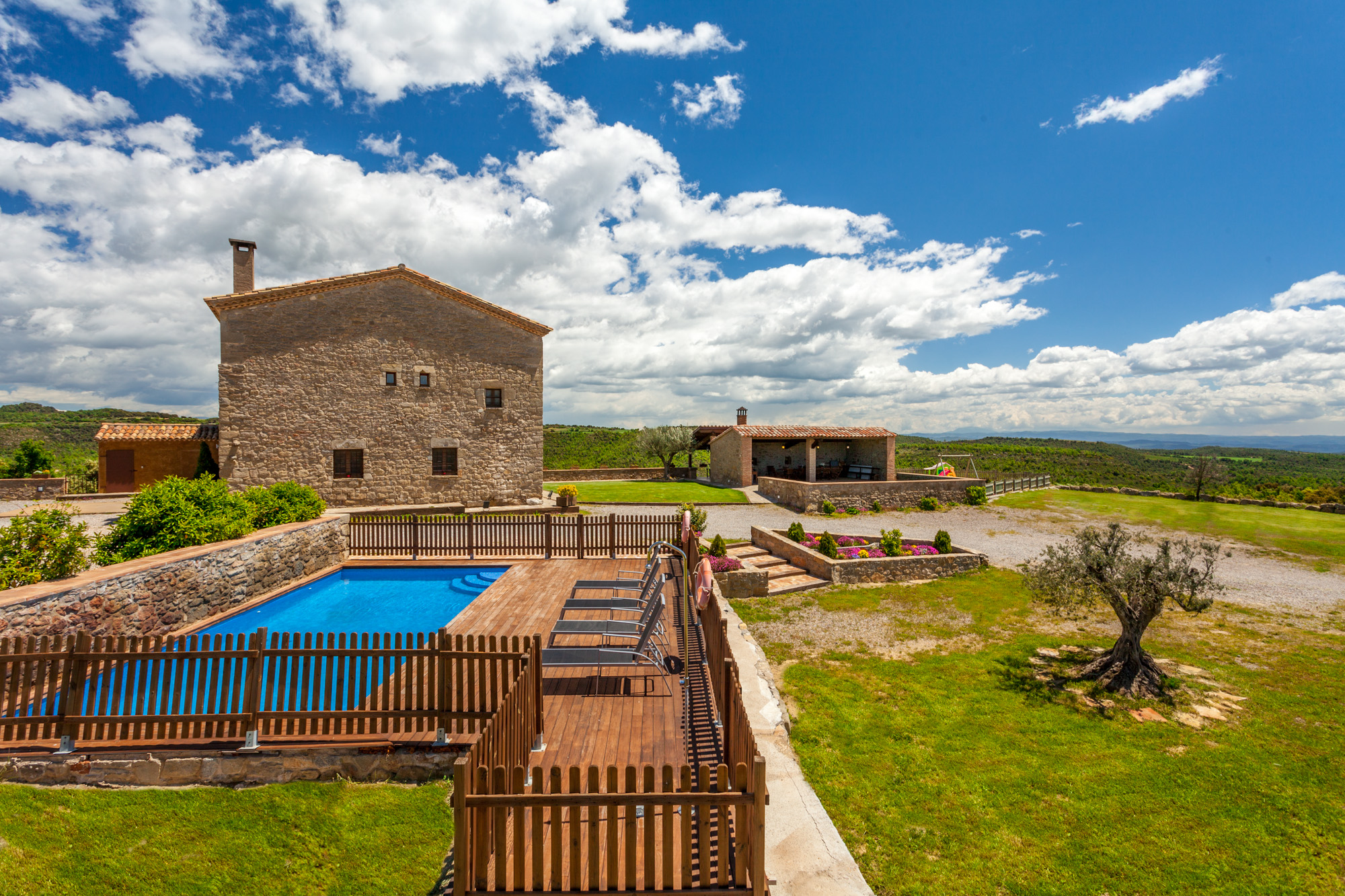
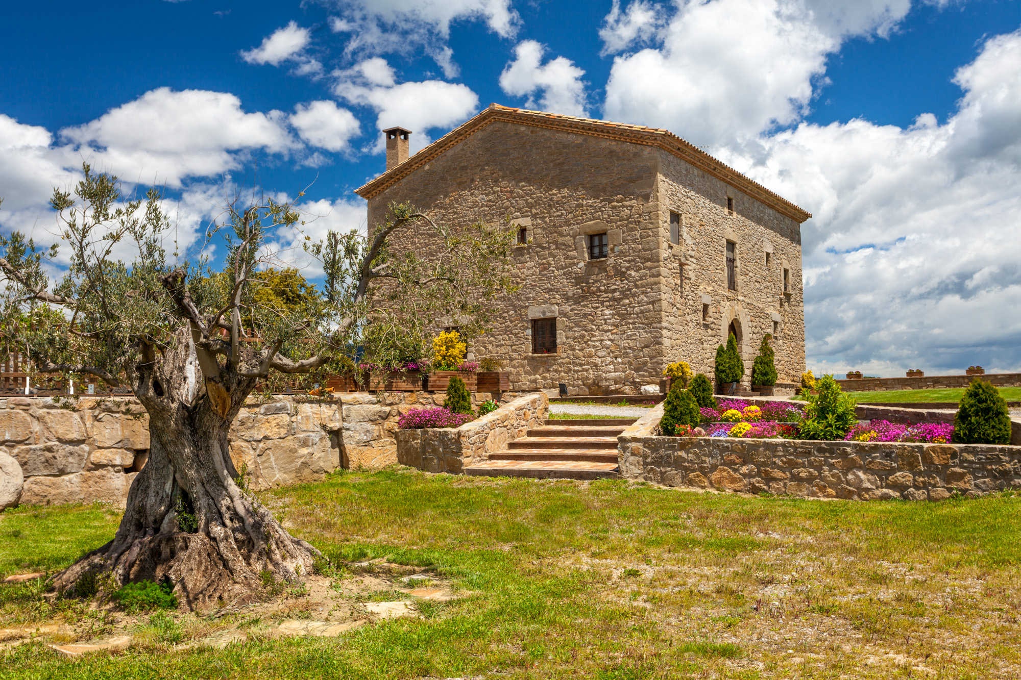
15th-century farmhouse with indoor pool, ideal for groups of up to 20 guests
Check availability