Though the Berguedà doesn't directly border France, its northern mountain passes connect to the Cerdanya—a high plateau straddling the Franco-Spanish border. This proximity to the frontier has profoundly shaped regional history: medieval heresies fled northward through these passes, armies marched across them during centuries of Franco-Catalan conflict, and in the 20th century, hundreds of thousands of Spanish Civil War refugees crossed the Pyrenees into France via routes passing through or near the Berguedà. Understanding the region requires understanding its position as a threshold between Mediterranean lowlands and trans-Pyrenean space.
Geography of Access: The Cadí Passes
The Cadí range, running east-west across the northern Berguedà, forms a formidable barrier (peaks 2,000-2,500m) between the region and the Cerdanya plateau. Only a few passes allow crossing:
- Coll de Jou (1,580m): The principal historical pass, now crossed by paved road (C-16). This pass carried the royal road from Barcelona to France via Puigcerdà. The relatively modest elevation and gentle gradients made Coll de Jou the preferred route for commercial traffic. Winter snow closes the pass December-March; historically, this seasonal closure meant commercial traffic concentrated May-November.
- Coll de Pal (2,105m): A higher pass east of Coll de Jou, accessible by paved road from Bagà. The higher elevation and steeper approaches made this a secondary route, but it offered directness for foot traffic or pack animals willing to manage the gradient.
- Pas dels Gosolans: A mountain route from Gósol crossing the Cadí ridge at approximately 2,400m elevation. This was a summer-only shepherd and smuggler route—too steep and high for commercial traffic but offering a direct crossing for those on foot. Still used as a hiking route (unmarked, for experienced mountain walkers only).
Once across the Cadí, travelers reached the Cerdanya—a high plateau (1,100-1,200m elevation) forming a natural corridor between the eastern Pyrenees and the Mediterranean. The Cerdanya has been politically divided since the 1659 Treaty of the Pyrenees: the northern portion (Haute Cerdagne) is French; the southern portion (Baixa Cerdanya) is Spanish. The town of Puigcerdà (Spanish side) sits 15 km from the French border.
This geography made the Berguedà a funnel: anyone moving between lowland Catalonia and France via the eastern Pyrenees passed through the region. Control of Berguedà passes meant control of a strategic corridor.
The Cathar Trail: 13th Century Religious Refuge
The Cathars were a dualistic Christian sect flourishing in Occitania (southern France) during the 12th-13th centuries. They rejected Catholic hierarchy, denied the goodness of material creation, and promoted ascetic lifestyles. The Catholic Church declared them heretical; Pope Innocent III launched the Albigensian Crusade (1209-1229) to suppress them militarily.
As French royal armies conquered Occitania, Cathar communities fled southward across the Pyrenees seeking refuge in Catalonia and Aragon, whose rulers tolerated religious diversity. The primary escape routes crossed through the Cerdanya and descended via the Berguedà passes—particularly Coll de Jou—to reach lowland Catalonia.
The Sender dels Bons Homes (Trail of the Good Men, also called Cathar Trail) commemorates this flight. "Good Men" (bons homes) was what Cathars called their spiritual elite—the perfecti, who lived in complete asceticism. The modern hiking trail (GR 107) follows the documented escape route:
- Northern terminus: Foix, France (former Cathar stronghold)
- Route: Crosses Pyrenees via Pas de la Casa or other high passes → Cerdanya → Coll de Jou → Bagà → Berga → Queralt sanctuary → continues south toward the Mediterranean
- Total distance: Approximately 200 km (France to the sea), typically walked in 10-12 stages
The Berguedà section from Coll de Jou to Berga (roughly 25 km) can be walked as a long day hike or divided into two stages. The route descends from alpine meadows through mixed forest to the Berga basin, passing Romanesque chapels and medieval bridges—landscape features the fleeing Cathars would have encountered.
Why commemorate medieval heretics? The trail reflects contemporary interest in "alternative spiritualities" and historical religious persecution. For some hikers, the Cathar story resonates with modern pluralism; for others, the trail simply offers well-marked mountain walking with historical depth. The Berguedà section also connects with the regional GR network, allowing hikers to combine Cathar history with broader regional exploration.
The <em>Retirada</em>: 1939 Republican Exile
In January-February 1939, Francoist forces conquered Catalonia, ending Republican resistance in northeastern Spain. Faced with expected reprisals (Franco's regime imprisoned and executed tens of thousands of Republicans), approximately 500,000 Spanish civilians and soldiers fled across the Pyrenees into France in what became known as La Retirada (The Retreat).
The main exodus routes were:
- Coastal route: Via La Jonquera toward Perpignan (majority of refugees)
- Central Pyrenean routes: Via Ripoll, Camprodon, and Vall d'Aran passes
- Cerdanya routes: Via Puigcerdà and mountain passes, with some refugees passing through or near the Berguedà
Conditions were horrific:
- Winter weather: February 1939 brought heavy snow and temperatures below -10°C. Many refugees lacked appropriate clothing or footwear.
- Difficult terrain: High passes required ascending to 2,000+ metres. Families carried children, elderly, and whatever possessions they could manage.
- French reception: France, unprepared for the influx, initially confined refugees in improvised camps de concentration (internment camps) at Argelès-sur-Mer, Saint-Cyprien, and other coastal locations. Conditions in these camps—minimal shelter, inadequate food, poor sanitation—were appalling. Thousands died of disease and exposure.
The exodus left deep scars. Families separated; many never reunited. Refugees lost properties, livelihoods, and often relatives executed or imprisoned by Franco's regime. The memory of la Retirada remains vivid in Catalan collective memory—commemorative plaques mark crossing points, and oral histories preserve individual stories.
For visitors interested in this history:
- Memorial sites: Plaques at Coll de Jou and other passes commemorate the exodus.
- Museums: The Museu Memorial de l'Exili (MUME) in La Jonquera (100 km from the Berguedà) documents the Retirada comprehensively. Worth a dedicated visit for those interested in Spanish Civil War history.
- Literature: Max Aub's El laberinto mágico series includes fictional accounts; Luis Buñuel's memoir My Last Sigh describes the period; numerous historical studies exist in Catalan, Spanish, and English.
Exploring Border Geography: Contemporary Routes and Reflections
Today, the Schengen Agreement eliminates border controls between Spain and France, making Pyrenean crossings trivial. Yet the landscape retains evidence of its frontier past:
- Customs buildings: Abandoned customs posts at Coll de Jou and other passes—small stone structures where officials inspected goods and collected duties. Now often repurposed as trail shelters or information points.
- Fortifications: Some high passes retain remnants of 17th-19th century military positions—stone breastworks, sentry posts. These testify to the border's strategic importance during Franco-Spanish conflicts.
- Smuggling caves: As discussed in the Smugglers article, caves like Cova del Tabac served contraband storage during 18th-20th century border enforcement.
Recommended border-area explorations from the Berguedà:
- Drive to Coll de Jou: From Bagà, 25 km (35 min). The pass offers panoramic views north into Cerdanya and south across Berguedà. Interpretive panels explain historical significance. Continue to Puigcerdà (15 km beyond Coll de Jou) for a cross-border excursion—the town straddles French and Spanish cultural zones, with bilingual signage and French influence in architecture and cuisine.
- Hike the GR 107 (Cathar Trail) Berguedà section: From Coll de Jou descending to Bagà (12 km, 4-5 hours). This stretch offers reflection on historical movements—Cathar refugees, medieval merchants, Republican exiles—all traversing the same topography under vastly different circumstances.
- Visit Llívia: A Spanish enclave entirely surrounded by French territory (15 km north of Puigcerdà), resulting from quirks in the 1659 Treaty of the Pyrenees. This geographical anomaly—accessible only by driving through France—illustrates how borders create spatial oddities. The town contains a well-preserved medieval centre and Europe's oldest pharmacy (15th century, now a museum).
From La Tor de Montclar:
- Coll de Jou: 35 km north (50 min via Bagà)
- Puigcerdà: 50 km (70 min including Coll de Jou crossing)
- Llívia: 55 km (75 min)
These excursions transform abstract border history into embodied experience—standing at Coll de Jou, imagining trudging through snow as a 1939 refugee, provides visceral understanding impossible from texts alone. The contemporary ease of crossing (paved road, no checkpoints) creates stark contrast with historical difficulty, making the friction of borders—both physical and political—tangible through absence.
Practical information
35 km to Coll de Jou; 50 km to Puigcerdà/border area
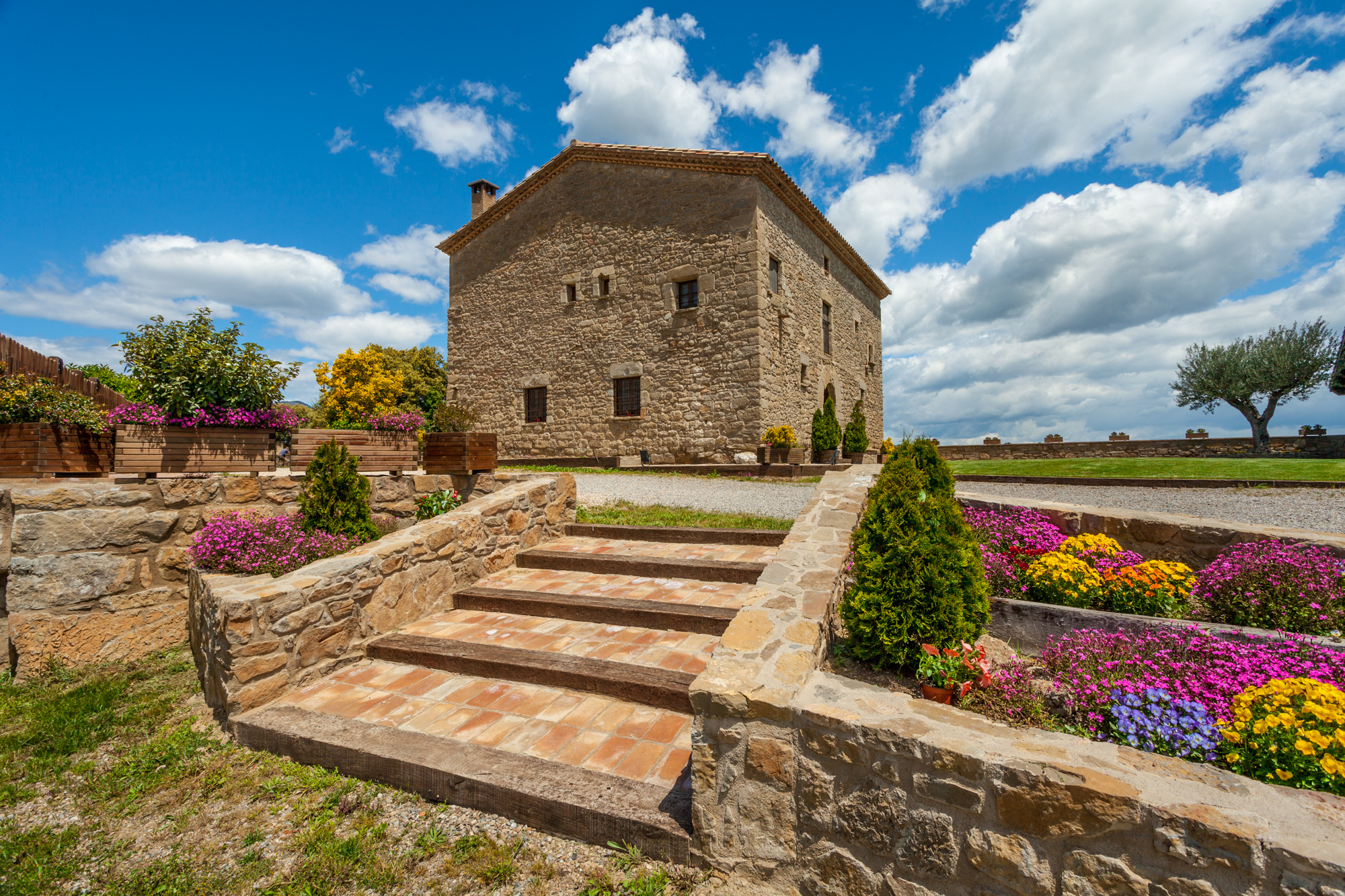
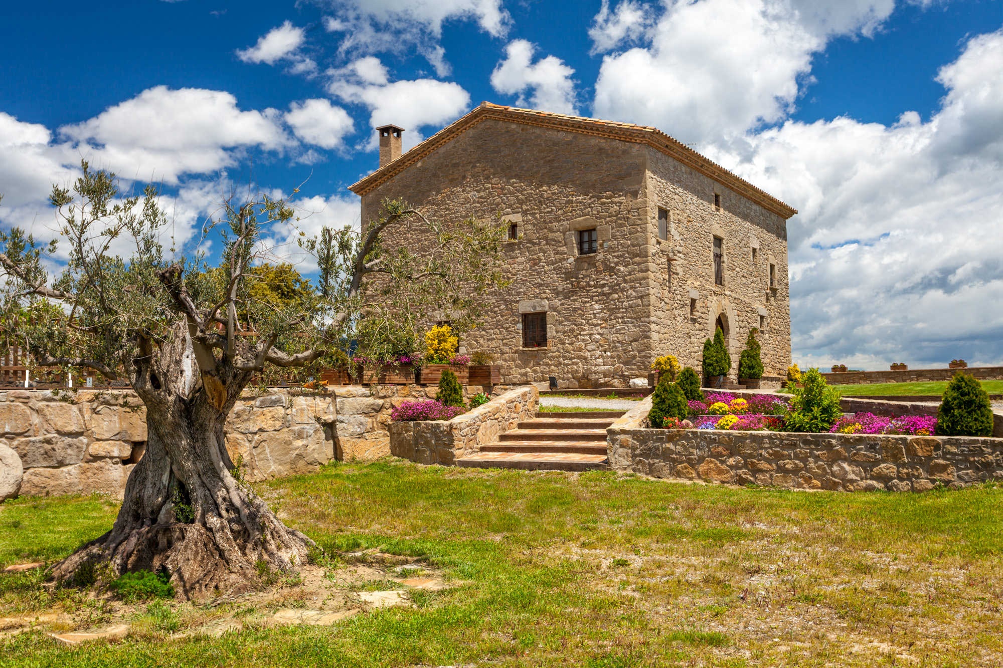
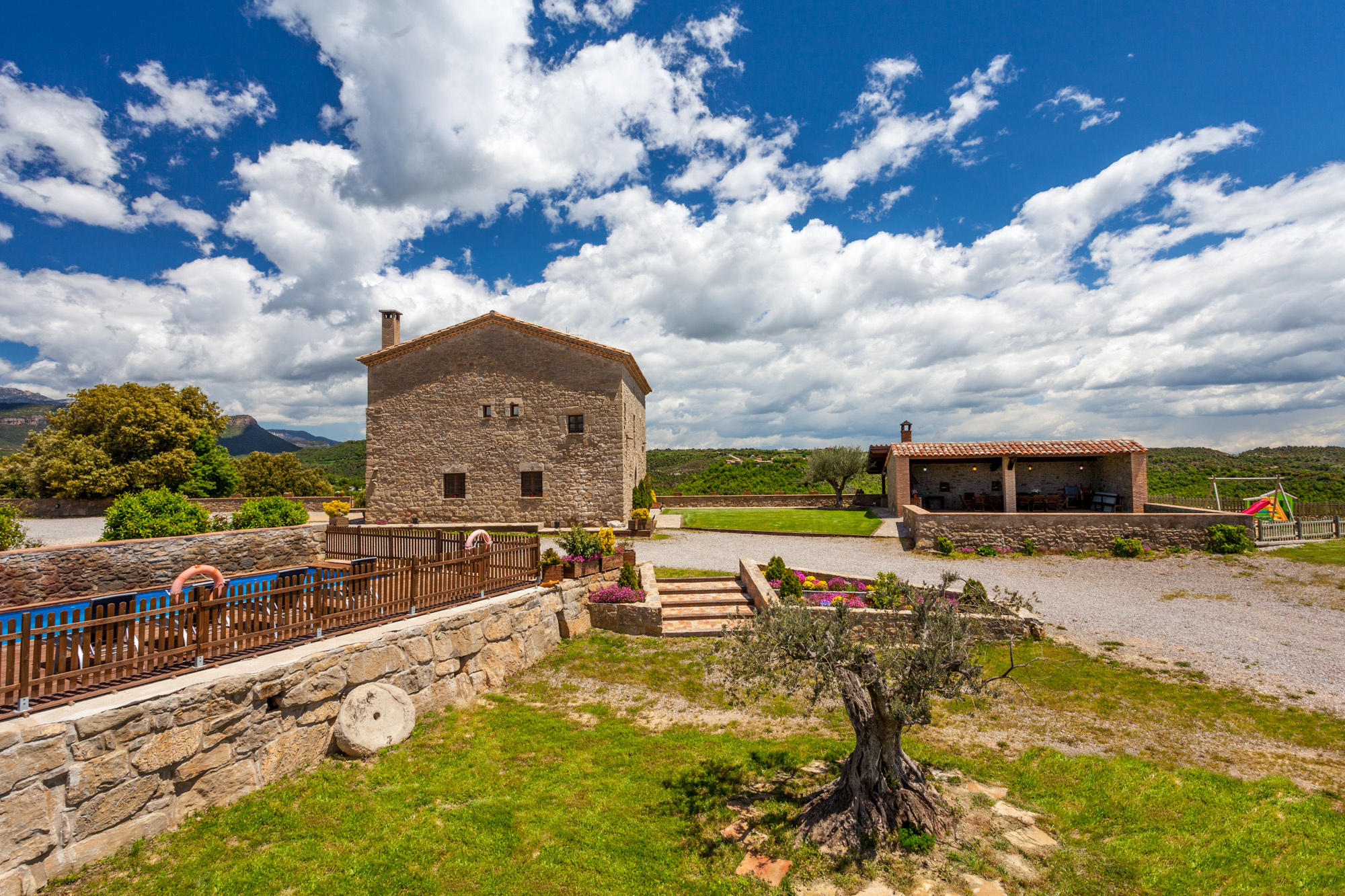
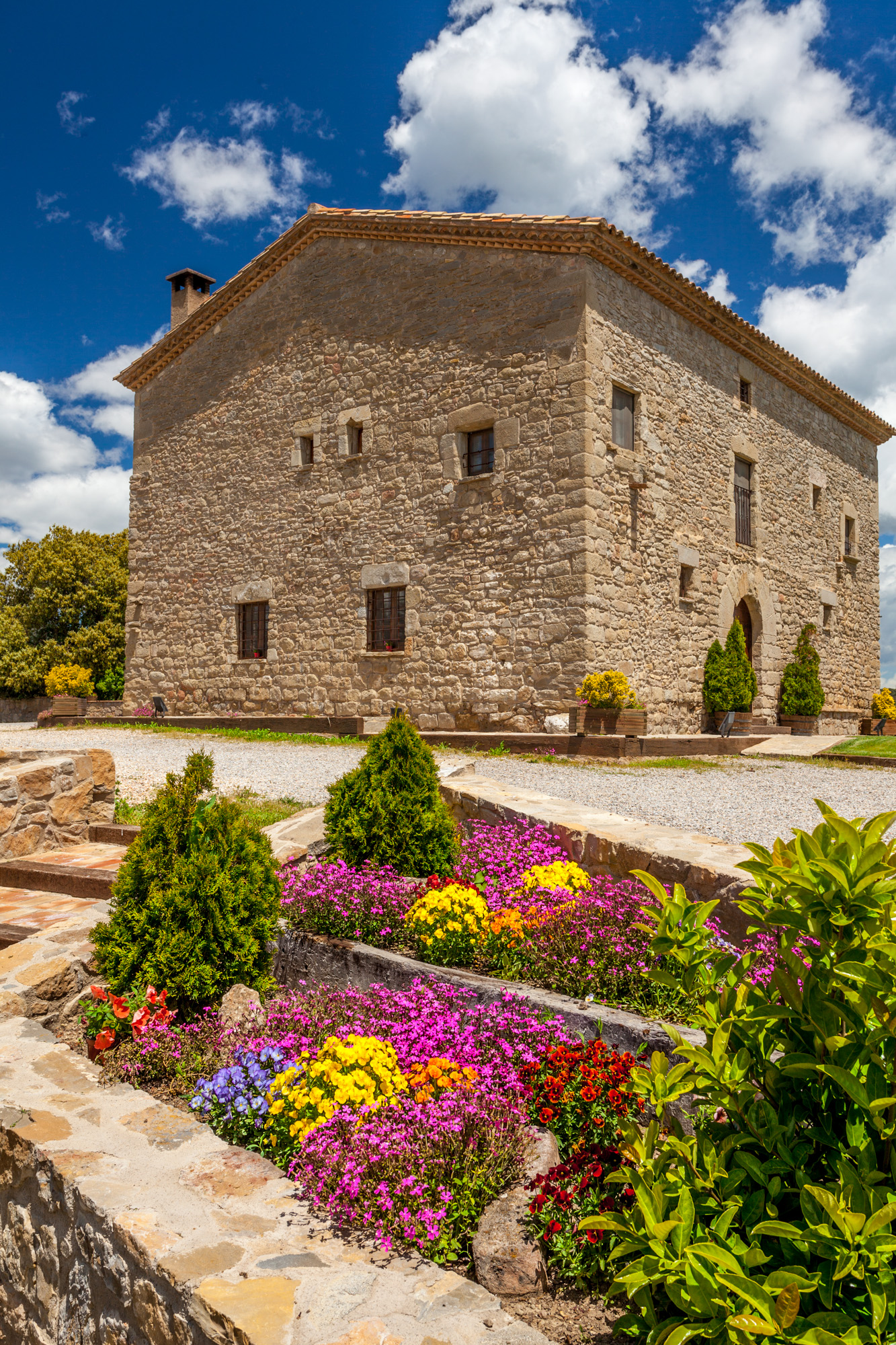
Discover Berguedà from La Tor de Montclar
15th-century farmhouse with indoor pool, ideal for groups of up to 20 guests
Check availability