The Berguedà's topographic relief—ranging from 700m valley floors to 2,500m summits—creates exceptional viewpoints where landscape becomes legible. From these vantage points, geological structures, settlement patterns, and ecological zonation reveal themselves as visual patterns. Understanding why certain viewpoints offer superior views means understanding sight lines, atmospheric conditions, and the relationship between elevation and perspective.
The Optics of Mountain Views: Why Elevation Matters
Viewpoint quality depends on several factors:
- Elevation difference: The vertical separation between viewpoint and viewed landscape determines perspective. Higher viewpoints reveal broader areas but flatten topographic detail. Moderate elevation differences (200-600m above valley floors) often provide optimal balance—enough height for overview without losing three-dimensional perception.
- Atmospheric clarity: Air contains water vapour, dust, and particulates that scatter light, reducing visibility. At sea level in humid conditions, visibility may be only 20 km. At 2,000m elevation in dry air after rain, visibility can exceed 150 km. The Berguedà's continental Mediterranean climate produces excellent visibility, especially autumn-spring when Atlantic fronts clear atmospheric particulates.
- Solar angle: Oblique light (low sun angle) creates shadows that emphasise topographic relief. Midday overhead sun flattens landscapes, reducing visual interest. Sunrise/sunset or winter light (when sun remains low all day) maximises topographic definition.
- Sight lines: Foreground obstructions (trees, ridges) block views. The best viewpoints have cleared foreground and open vistas toward subjects of interest.
These principles explain why certain locations become celebrated viewpoints while nearby similar elevations remain unknown—small topographic differences creating vastly different visual experiences.
Pedraforca Viewpoints: Perspectives on an Icon
The Pedraforca (2,497m)—the Berguedà's iconic forked summit—is visible from numerous angles, each revealing different aspects of its structure:
- Mirador de Gresolet (1,850m): The classic frontal view, accessed via 8 km forest track from Saldes (dirt road, passenger cars acceptable May-October). The viewpoint sits 4 km north of the summit, showing the distinctive fork clearly. This is the view appearing on most promotional materials. The foreground includes subalpine meadows transitioning to rock at treeline (approximately 2,000m in this area). Parking and picnic area; no facilities. This is also the trailhead for the standard Pedraforca ascent route (4 hours to summit, difficult hiking requiring scrambling).
- Coll de la Bena (1,950m): A mountain pass on the road between Gósol and Tuixén, offering a profile view of the Pedraforca from the northwest. This angle shows the mountain's depth—it's not merely a ridge but a massive block. The viewpoint includes the Cadí range extending east and the Cerdanya valley to the north. Accessible by paved road; small parking area. Especially dramatic at sunset when oblique light illuminates the summit while valleys below fall into shadow.
- Gósol village (1,423m): The Pedraforca forms Gósol's backdrop, visible from the village square. This was Picasso's view during summer 1906—the mountain's angular geometry possibly influencing his shift toward Cubism. The viewpoint combines cultural history (Picasso) with landscape aesthetics. Walking the village streets reveals how the Pedraforca appears and disappears between buildings, creating rhythmic visual experiences.
These three viewpoints demonstrate how changing position reveals different mountain aspects—frontal symmetry from Gresolet, three-dimensional mass from Coll de la Bena, integrated cultural landscape from Gósol. Visiting all three builds comprehensive understanding of the mountain's form and its relationship to human settlement.
Panoramic Viewpoints: 360° Mountain Vistas
Several locations offer sweeping panoramic views encompassing multiple mountain ranges:
- Santuari de Queralt (1,200m): A clifftop sanctuary overlooking Berga and the Llobregat valley. The view extends south across the Baells reservoir toward the Montseny massif (visible 70 km distant on clear days), west to the Serra d'Ensija, north to the Cadí range, and east toward the Moixeró massif. The dramatic elevation drop (600m nearly vertical cliff) creates vertiginous perspective. Accessible by paved road (7 km from Berga) or footpath (5 km, 2.5 hours ascent). The sanctuary includes a restaurant and small hotel; sunset views are exceptional.
- Serra d'Ensija plateau (2,200-2,400m): A flat-topped ridge accessible via hiking trails from Bagà or La Molina ski area. The plateau offers true 360° views: Pyrenees to the north (including Canigó peak in France, 130 km distant), Cadí-Pedraforca to the east, Llobregat valley and Barcelona plain to the south (including Montserrat and the Mediterranean on exceptional days), and the Pallars ranges to the west. The extensive horizon makes the Ensija ideal for understanding regional geography. Access requires 3-4 hour hike with 800m elevation gain; suitable for experienced hikers only. No facilities; carry water and food.
- Coll de Pal (2,105m): A mountain pass between the Berguedà and the Cerdanya, accessible by paved road from Bagà (25 km, 35 min). The viewpoint straddles the boundary, offering views north into the Cerdanya valley and south across the Berguedà. The contrast is instructive: the Cerdanya is a high plateau (1,100-1,200m) with open agricultural landscape, while the Berguedà shows steep forested valleys. The viewpoint includes parking and a small restaurant (seasonal operation). Winter access requires snow chains December-March; the road is closed during heavy snow.
These panoramic viewpoints function as natural classrooms for geography—geological structures, climate gradients, and settlement patterns become visually comprehensible from elevated vantage points.
Photography and Optimal Viewing Conditions
Maximising viewpoint experiences requires attention to timing and conditions:
- Seasonal considerations:
- Autumn (October-November): Beech forests turn yellow-orange-red, creating colour contrast against evergreen pines and limestone cliffs. Atmospheric clarity increases as summer humidity decreases. First snow dusts summits while valleys remain snow-free, emphasising elevation zones.
- Winter (December-February): Snow coverage transforms landscapes, simplifying colour palettes to white, grey, and blue. Low sun angle maximises shadow contrast. However, road access to high viewpoints may be limited.
- Spring (April-May): Snowmelt creates maximum water flow in streams and springs. Meadows green rapidly; wildflowers bloom progressively by elevation. Weather is variable—dramatic cloud formations.
- Summer (June-August): Vegetation is lush; high-elevation areas accessible. However, midday heat creates haze reducing distant visibility. Early morning offers best clarity.
- Time of day:
- Sunrise: Clear air, oblique light, valley mists. Best for atmospheric effects. Requires predawn departure.
- Midday: Overhead light flattens topography; worst conditions for landscape photography. However, high sun eliminates shadows, useful for identifying distant features.
- Sunset: Oblique light, warm colour temperature, long shadows. Most popular photography time. Requires careful planning to avoid post-sunset descent on unfamiliar trails.
- Weather:
- Post-storm: Atmosphere is washed clean; visibility maximised. Snow on peaks while valleys are clear. Ideal conditions but requires monitoring forecasts.
- Stable high pressure: Clear skies but potentially hazy from atmospheric particulates. Better in winter than summer.
- Partial cloud: Can enhance views by creating dramatic light effects—sunbeams, shadow patterns. More interesting than cloudless skies but unpredictable.
Photography equipment considerations: wide-angle lenses (24-35mm equivalent) for sweeping vistas; telephoto lenses (100-300mm) for distant mountain details; polarising filters to reduce haze and enhance sky saturation; tripod for low-light conditions at sunrise/sunset.
From La Tor de Montclar, viewpoint access:
- Queralt: 20 km south (25 min by road)
- Gresolet: 28 km north (45 min including forest track)
- Coll de Pal: 35 km north (50 min)
- Serra d'Ensija trailhead: 22 km (30 min to Bagà trailhead)
The diversity of viewpoints within 50 minutes makes multi-viewpoint days feasible—comparing perspectives from different elevations and angles builds comprehensive spatial understanding of the region's geography.
Practical information
20-35 km to major viewpoints (25-50 min)
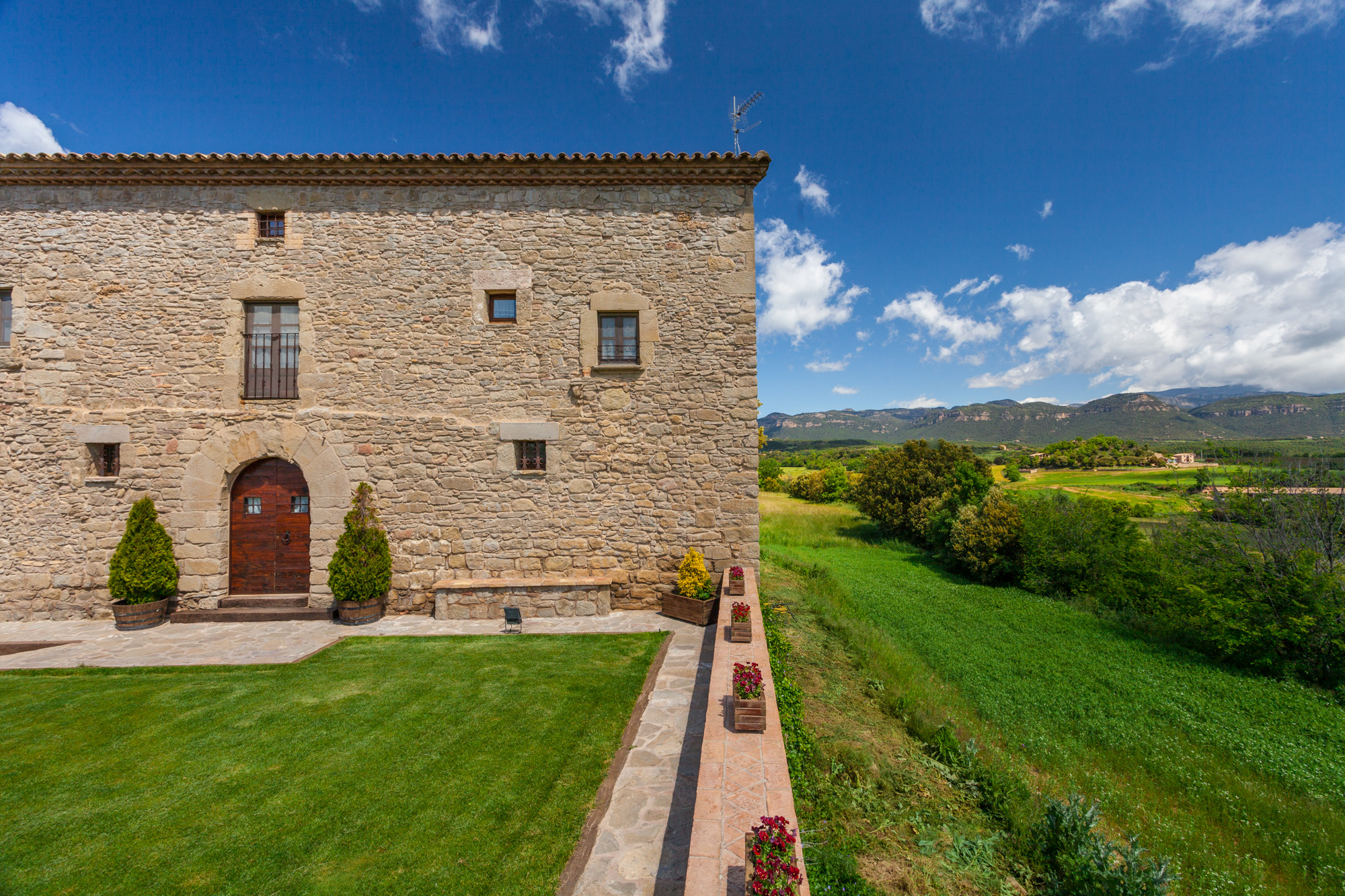
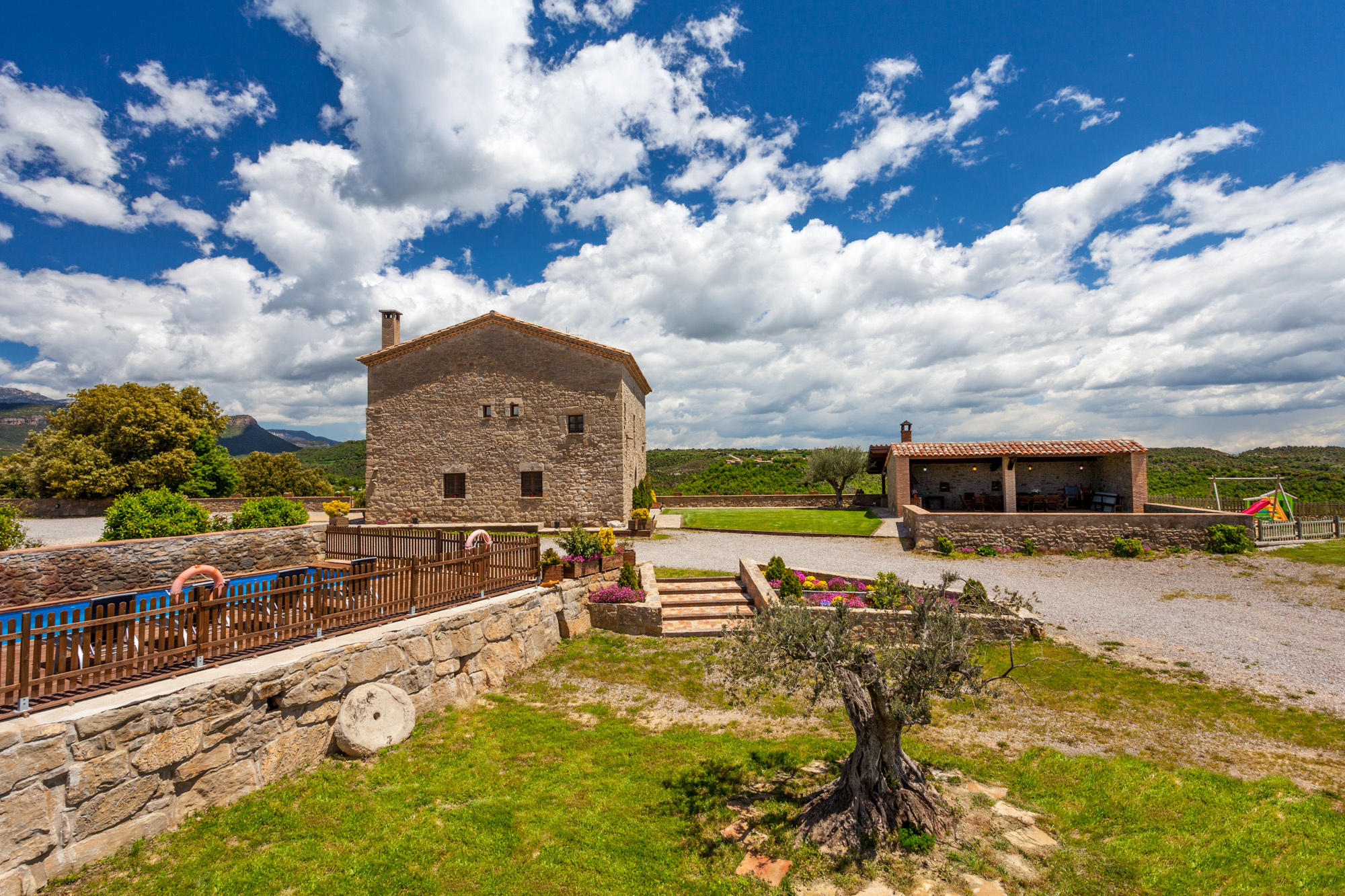
Discover Berguedà from La Tor de Montclar
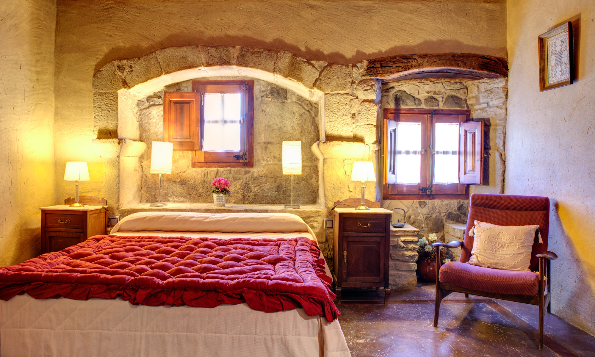
15th-century farmhouse with indoor pool, ideal for groups of up to 20 guests
Check availability