Mobile phone coverage in the Berguedà is generally reliable in towns and along main roads but becomes patchy or nonexistent in mountain valleys, dense forests and high-altitude areas. Understanding where signal drops out, which carriers provide the best coverage, and how to prepare for connectivity challenges is important for safety, navigation and communication -- especially if you rely on GPS apps or may need to make emergency calls.
Where You Will Have Reliable Signal
Coverage is consistently good in the main towns of the Berguedà. Berga, Bagà, Guardiola de Berguedà, La Pobla de Lillet and Gironella all have reliable 4G/5G coverage from all major carriers. You can expect fast data speeds for streaming, video calls and cloud services in these population centres.
The C-16 highway (Eix del Llobregat) maintains reasonable coverage along most of its length through the Berguedà. This main route from Barcelona via Manresa to the Cadí tunnel is well-served by cell towers, making roadside emergencies and navigation straightforward. Service areas and rest stops have particularly good signal.
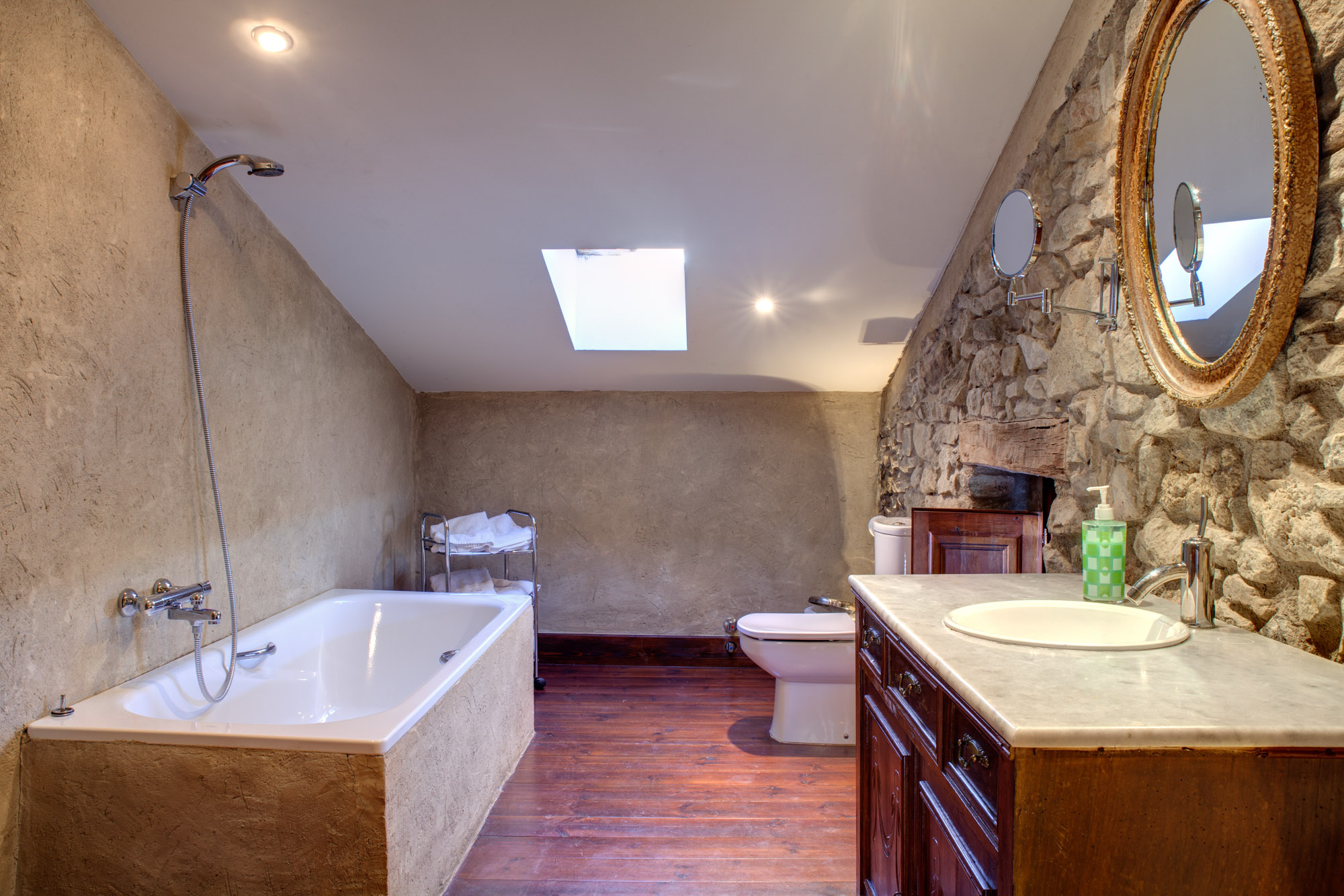
La Tor de Montclar and the surrounding area generally have adequate coverage for voice calls, text messages and moderate data use. Coverage can fluctuate depending on weather conditions and which part of the property you're in -- higher ground typically receives stronger signal. The farmhouse has WiFi, which is far more reliable than cellular data for internet access.
Many smaller villages including Castellar de n'Hug, Saldes, Gosol and Bagà's surroundings have basic 3G/4G coverage, though speeds may be slower than in larger towns. Village squares and main streets typically have the strongest signal.
Known Dead Zones and Weak Coverage Areas
Expect no signal or very weak, intermittent signal in the following locations:
Deep valleys including much of the Gresolet valley, the upper Llobregat gorges and narrow canyons where line-of-sight to cell towers is blocked by surrounding mountains. The valley floor may have no signal while slopes higher up occasionally catch signal from distant towers.
The upper slopes and summit approaches of the Pedraforca have no reliable coverage. While the very summit occasionally receives weak signal from towers many kilometres away, this is unpredictable and should never be relied upon. The same applies to other high peaks in the Cadí range.
Dense forest areas, particularly mature beech and pine forests, significantly attenuate signal. The combination of tree cover and topography creates extensive dead zones. The forests around the Gresolet valley and on north-facing slopes of the Cadí range are particularly affected.
The road between Saldes and Gosol (the BV-4241) passes through several dead zones, especially in the narrow gorge sections. If this is your planned route, inform someone of your travel plans before losing signal.
Many hiking trails and mountain paths away from main routes have no coverage. Assume any backcountry hiking will be without signal unless you specifically test and confirm otherwise.
Comparison of Mobile Carriers
Movistar (Telefónica) generally provides the most extensive rural coverage in the Berguedà and throughout Catalonia. Their network benefits from the largest number of rural cell towers and typically offers the best signal in fringe areas. If you spend significant time in mountain regions, Movistar is often the best choice.
Vodafone offers comparable coverage to Movistar in most areas, with strong performance in towns and along major roads. Rural and mountain coverage is generally good but slightly less extensive than Movistar in some remote valleys.
Orange provides reasonable coverage in population centres and along the C-16, but rural and mountain coverage can be more limited. In dead zones, Orange subscribers may lose signal where Movistar users retain weak connectivity.
Yoigo and smaller MVNOs (Mobile Virtual Network Operators) piggyback on the larger networks, typically Movistar or Orange. Coverage depends on which wholesale network they use -- check your carrier's network partner. Budget carriers often have the same technical coverage as their parent network but may receive lower priority during network congestion.
Pepephone, Másmóvil, Simyo and other MVNOs vary in coverage based on their infrastructure partnerships. Research your specific carrier's coverage maps before travelling to rural areas.
If mobile connectivity is critical for your trip, consider a dual-SIM phone with cards from two different networks, increasing your chances of having signal in marginal areas.
WiFi Availability and Alternative Connectivity
La Tor de Montclar and most rural accommodations provide WiFi for guests. This is invaluable for downloading offline maps, checking weather forecasts, uploading photos and staying connected. Make the most of WiFi access to prepare for periods without coverage.
Hotels, restaurants and cafés in Berga, Bagà and other towns typically offer free WiFi to customers. Tourist information offices sometimes provide public WiFi. When in towns, take the opportunity to sync devices, check messages and update navigation apps.
Some mountain refuges (refugis) have limited WiFi or none at all -- check in advance if connectivity is important. The majority of refuges are off-grid or have only basic solar power, insufficient for telecommunications infrastructure.
Public WiFi security: When using shared networks, avoid accessing sensitive accounts (banking, email with important information) without a VPN. Public networks can be intercepted, so save critical tasks for trusted private connections.
For remote workers or those requiring guaranteed connectivity, consider a mobile WiFi hotspot device (Mi-Fi) from a major carrier, or investigate satellite communication options for truly remote work, though these are expensive and have limited bandwidth.
Emergency Communication Without Signal
The emergency number 112 works on any available network, even without your own carrier's signal. If your phone shows "Emergency Calls Only" or "SOS", you can still dial 112, which will connect via any available carrier's tower. This EU-wide standard significantly improves emergency coverage.
If you cannot get 112 to connect, try moving to higher ground or an open area. Even 20-30 metres of elevation gain can make the difference between no signal and enough to complete an emergency call. Ridge lines and summits sometimes receive signal when valley bottoms do not.
Text messages require less signal strength than voice calls and may get through when calls fail. If you have weak, intermittent signal, send a text message with your location, situation and needs. It may take time to send, but persevere.
The GeoRescue and My112 apps share your GPS coordinates with emergency services when you do connect, ensuring rescuers know exactly where you are even if the call drops. Install and configure these apps before your trip.
In true emergencies without any mobile coverage, traditional signalling methods remain vital: six blasts on a whistle (pause, repeat), waving bright clothing, using a mirror to reflect sunlight, or building a small, smoky fire if safe to do so. The international distress signal is any signal repeated six times per minute with one-minute pauses.
Practical Tips for Managing Limited Connectivity
Download everything before leaving WiFi. This cannot be emphasised enough. While at La Tor de Montclar or your accommodation, download offline maps for the entire Berguedà region at high zoom levels, save route GPX files, cache weather forecasts, download any guidebooks or reference materials, and save important phone numbers and addresses to your device.
Switch to aeroplane mode when hiking in known dead zones. When your phone searches constantly for signal, it drains the battery in a few hours. In aeroplane mode, you can still use GPS navigation, camera and offline apps while preserving battery for when you return to coverage or need to make an emergency call. A phone that would last 4 hours with signal searching can last 12+ hours in aeroplane mode.
Carry a portable power bank (at least 10,000 mAh capacity, preferably 20,000 mAh for multi-day trips) to recharge your phone. Mountain environments are cold, which also reduces battery performance. Keep your phone close to your body to maintain warmth, and keep your power bank fully charged.
Inform someone of your plans before entering dead zones. Tell your host at La Tor de Montclar, or leave a message with a friend or family member detailing your route, destination, expected return time and what to do if you don't check in. This simple precaution is fundamental mountain safety.
Use satellite messengers for serious backcountry travel. Devices like Garmin inReach, SPOT or Bivystick use satellite networks to send messages, share your location and trigger rescues anywhere in the world. These devices cost €150-400 plus subscription fees (€12-35/month) but provide complete coverage independent of cell towers. For those planning extensive mountain activities, they offer invaluable peace of mind.
Paper maps and compass remain essential backups. Digital devices fail, batteries die, and screens crack. Traditional navigation tools always work and require no power. Carry a laminated 1:25,000 or 1:50,000 topographic map of the Berguedà and know how to use it with a compass.
Practical information
Advance preparation: 30 minutes; ongoing awareness essential
Understanding coverage is important for all difficulty levels
Year-round consideration for connectivity planning
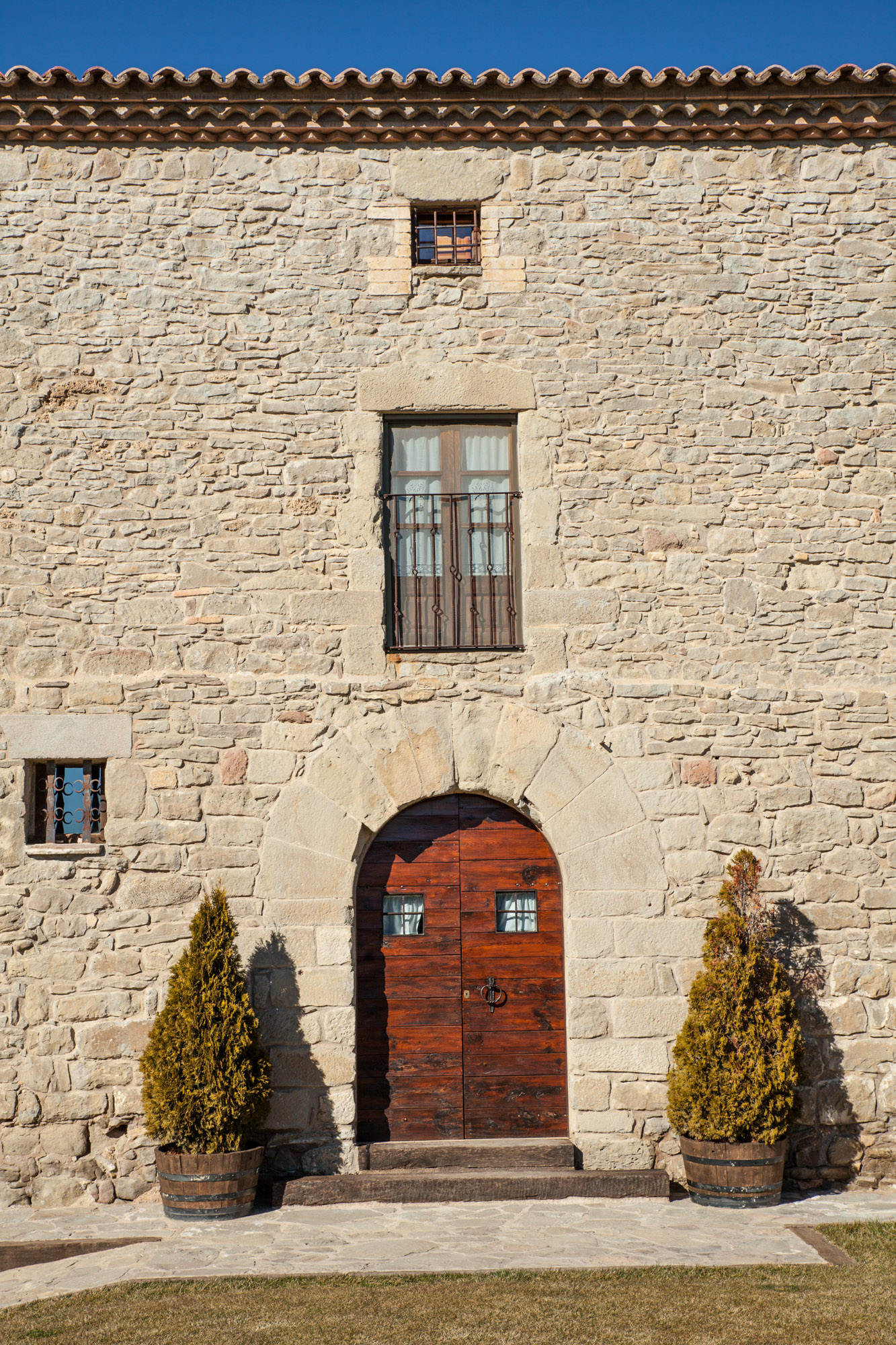
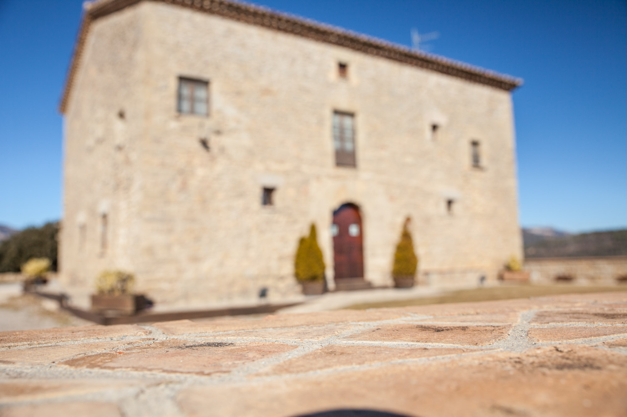
Discover Berguedà from La Tor de Montclar
15th-century farmhouse with indoor pool, ideal for groups of up to 20 guests
Check availabilityRelated articles
Best Hiking Apps for the Berguedà: Wikiloc, Offline Maps and GPS Tools
Read more →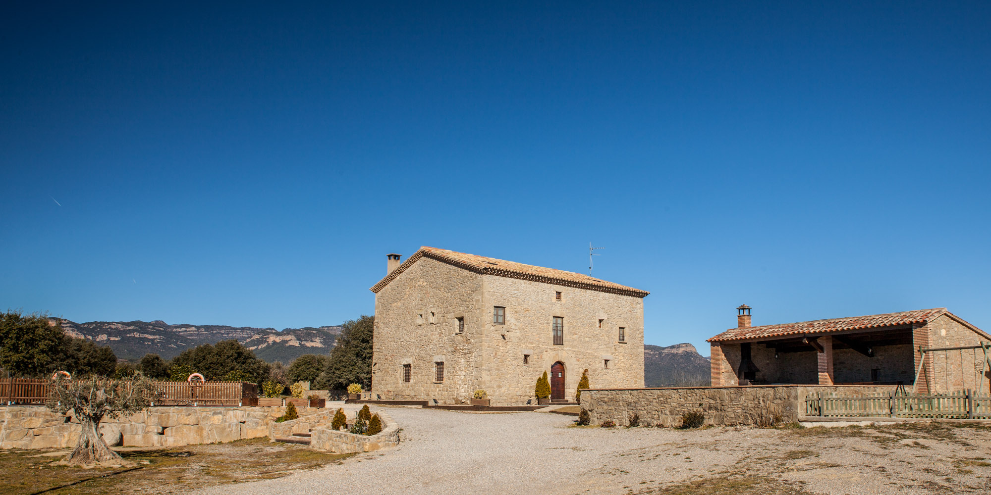
Mountain Safety in the Berguedà: Precautions, Risks and Emergency Contacts
Read more →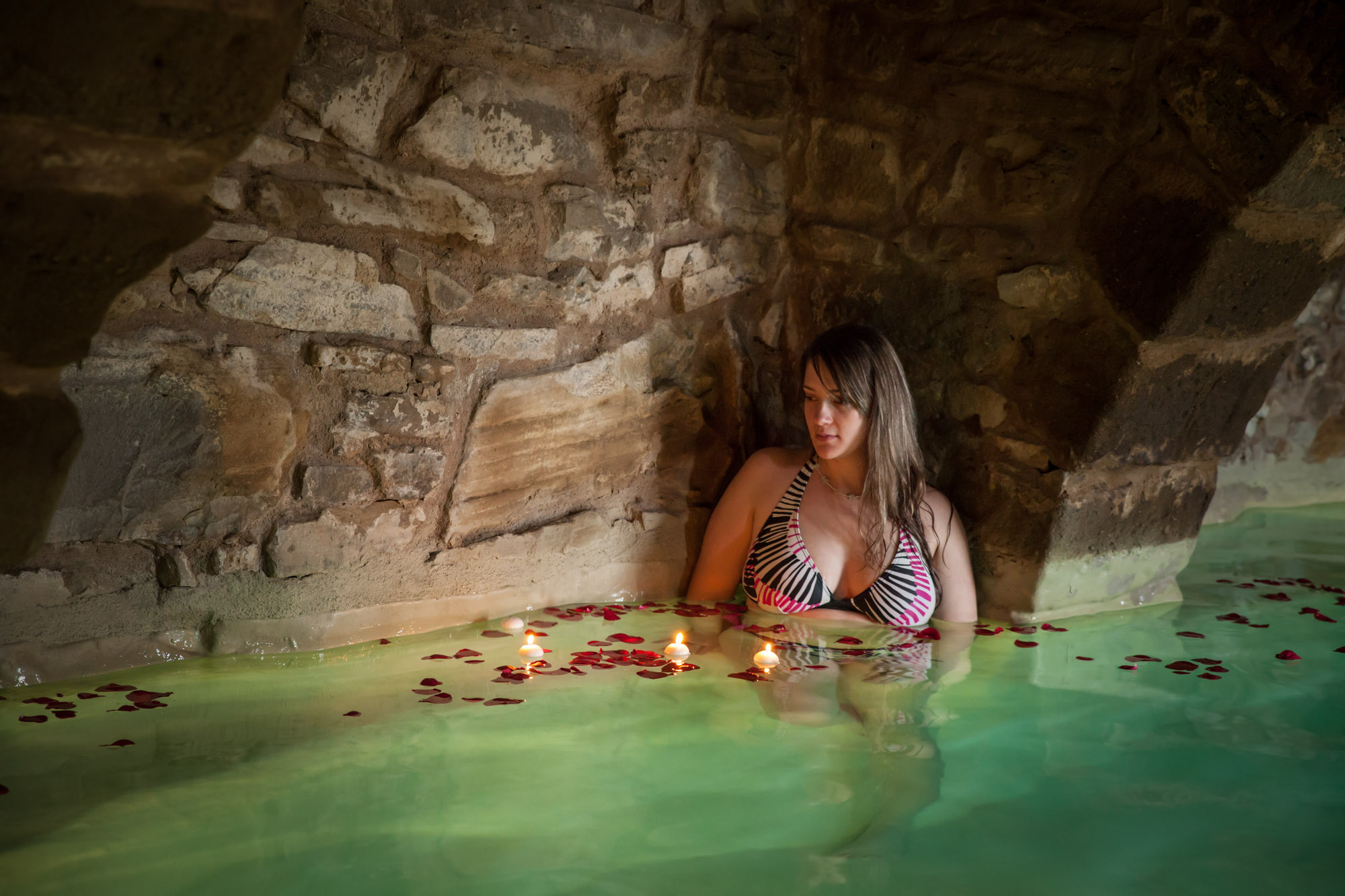
Emergency Contacts and Useful Information for the Berguedà
Read more →
Essential Mountain Packing List for Berguedà: Complete Gear Guide for International Hikers
Read more →