Modern hiking apps and digital navigation tools have transformed trail exploration and safety in mountainous regions like the Berguedà. From GPS tracking and offline topographic maps to weather forecasts and emergency location sharing, the right digital toolkit enhances your outdoor experience significantly. However, apps should always complement -- never replace -- traditional map-reading skills, a compass and sound mountain judgement.
Wikiloc: The Essential Trail Database
Wikiloc (www.wikiloc.com) is the most popular hiking app in Catalonia and Spain, with an enormous database of user-uploaded trails throughout the Berguedà. The platform contains thousands of routes ranging from gentle valley walks to technical mountain ascents, each with GPS tracks, photos, descriptions and user comments.
The app allows you to search routes by area, distance, difficulty and activity type. Filter for hiking, trail running, cycling or winter activities. User ratings and recent comments help you assess current trail conditions. Many routes include waypoint markers for key junctions, water sources and viewpoints.
The critical feature for the Berguedà is the ability to download routes for offline use. Mobile signal is unreliable in many mountain areas, so downloading your planned route while still at La Tor de Montclar (or before leaving home) is essential. The app's GPS tracking works without mobile signal, showing your position on the downloaded route.
Wikiloc offers a free version with basic features and a premium subscription (around €10/year) that includes offline topographic maps, live tracking that friends can follow, and route navigation with turn-by-turn directions. The premium version is worthwhile for regular hikers.
When using routes from Wikiloc, remember that conditions change. A route uploaded in summer may be impassable in winter due to snow. Read recent comments and check weather forecasts before setting out. Treat user-generated content as guidance, not gospel.
AllTrails and Komoot: Alternative Route Platforms
AllTrails (www.alltrails.com) is particularly popular with English-speaking hikers. While it has fewer Spanish and Catalan routes than Wikiloc, it excels in user experience with high-quality photos, detailed reviews and curated trail collections. The app's interface is intuitive, and the offline map feature in the Pro version (around €30/year) is excellent.
AllTrails' strength is its community reviews and photos. Recent reviews often note current conditions, trail closures, snow levels and hazards. The app suggests routes based on your fitness level and preferences.
Komoot (www.komoot.com) combines route planning with community-shared trails. Its standout feature is intelligent route planning that considers your activity type, fitness level and surface preferences to suggest optimal paths between points. The voice navigation works offline, making it useful for unfamiliar areas.
Komoot's offline maps are free but sold by region, so you'd purchase the "Catalonia" or "Pyrenees" map pack (around €9). The app also integrates with sports watches and GPS devices for those who prefer dedicated units over phones.
Offline Topographic Maps: Organic Maps, OsmAnd and OruxMaps
While route-sharing apps are excellent, having detailed topographic maps with contour lines, peaks, rivers and terrain features is invaluable for navigation and route finding.
Organic Maps (organic-maps.app) is a free, open-source mapping app based on OpenStreetMap data. It offers completely offline maps with no tracking or ads, excellent battery efficiency, and surprisingly detailed hiking trail coverage. The app is lightweight, fast and respects privacy. Download the Catalonia map pack before your trip -- it requires less than 100 MB of storage. Organic Maps is ideal for general navigation and identifying features, though contour lines are less detailed than specialised topo maps.
OsmAnd (www.osmand.net) is another OpenStreetMap-based app with more advanced features. The paid version (around €10 one-time) offers unlimited map downloads, contour lines, hillshade rendering and the ability to overlay hiking routes. OsmAnd's interface is complex but powerful, appealing to experienced navigators. The app supports GPX track import, route recording and detailed POI (points of interest) databases.
OruxMaps (www.oruxmaps.com) is free and highly regarded among serious hikers. It supports numerous online map sources, including the official Institut Cartogràfic de Catalunya (ICC) topographic maps, which can be cached for offline use. OruxMaps displays detailed contour lines, allows custom waypoint creation and provides extensive track recording statistics. The interface is dated but functional. This app is particularly valuable for accessing Catalan government topo maps, which are the most accurate for the region.
Before each trip, ensure you have downloaded all necessary map tiles for the Berguedà area at sufficient zoom levels. Test the app's offline functionality before leaving WiFi coverage.
Weather Apps: Meteocat, AEMET and Mountain-Forecast
Accurate weather forecasts are fundamental to mountain safety. Several specialised apps provide the data you need.
Meteocat (www.meteo.cat) is the official Catalan meteorological service and offers the most accurate forecasts for the Berguedà. The app provides hourly forecasts, radar imagery showing precipitation, lightning detection maps, avalanche bulletins and severe weather warnings. Information is available in Catalan, Spanish and increasingly in English. Meteocat's hyperlocal data makes it the first choice for trip planning.
AEMET (www.aemet.es) is the Spanish national weather service. The app is user-friendly and includes detailed mountain-specific forecasts, though Meteocat generally provides superior accuracy for Catalonia. AEMET is useful as a secondary source and for comparing forecasts.
Mountain-Forecast (www.mountain-forecast.com) specialises in mountain weather, providing forecasts for specific peaks including the Pedraforca. The site breaks down conditions by altitude bands (base, mid-slope, summit), showing expected temperatures, wind speeds, precipitation and cloud levels for each. This granular data is invaluable when planning high-altitude hikes where conditions vary dramatically with elevation.
Meteoblue (www.meteoblue.com) offers similar detailed forecasts with excellent visualisations. The "pictocast" feature shows hour-by-hour weather icons, making it easy to spot ideal hiking windows.
Windy (www.windy.com) provides stunning animated visualisations of wind, precipitation and temperature patterns. The interactive maps help you understand how weather systems are developing and moving, giving context to standard forecasts.
Safety and Emergency Apps
Several apps enhance safety by facilitating emergency communication and location sharing.
GeoRescue is a free app that shares your precise GPS coordinates with emergency services when you call 112. In mountain areas where describing your location verbally is difficult, this can significantly speed rescue response. The app works across Europe and requires minimal data or battery.
My112 is the official Spanish emergency app that automatically sends your GPS location, personal profile and emergency type when you call 112. Registration takes a few minutes but provides valuable information to responders. The app can also be used to call emergency services via text if voice calls are impossible.
What3Words divides the world into 3m x 3m squares, each identified by a unique three-word address. Emergency services in Catalonia increasingly use this system. The app works offline once words are downloaded, allowing you to communicate your location precisely even without signal -- you just need to relay the three words when you regain connectivity or to someone who can call for help.
Many hiking apps including Wikiloc and Komoot offer live tracking features that allow friends or family to follow your progress in real-time. If you fail to check in, they can alert authorities and provide your last known position.
Practical Tips for Using Hiking Apps
Download everything before you leave. While at La Tor de Montclar or your accommodation with WiFi, download all route GPX files, offline map tiles for the entire Berguedà area at maximum zoom, weather forecasts and any supporting information. Mobile signal in the mountains is unreliable at best and nonexistent in many valleys and forests.
Carry a portable power bank (at least 10,000 mAh capacity) to recharge your phone during longer hikes. GPS tracking drains battery rapidly, especially in areas with weak signal where the phone constantly searches for coverage. Switch to aeroplane mode when using offline maps and GPS to dramatically extend battery life -- location services work without cellular connection.
Start tracking at the trailhead, not midway through your hike. A complete GPS record is valuable if you need to retrace your steps or require rescue. Many apps allow you to share your track privately after the hike, creating a permanent record of your adventures.
Use apps as supplements to traditional navigation, not replacements. Carry a paper map and compass, and know how to use them. Phones can break, batteries die, and screens become unreadable in bright sunlight. The best navigators combine digital convenience with traditional skills.
Protect your phone with a durable case and screen protector. Mountain environments are harsh on electronics. Consider a waterproof case or dry bag for hikes in wet conditions.
Test apps thoroughly on easier, familiar trails before relying on them in remote areas. Understand how the interface works, how to mark waypoints, how to reverse a route and how to interpret the map display.
Practical information
Setup and learning: 1-2 hours; ongoing benefit: immeasurable
Easy to learn, enhances all difficulty levels
Year-round digital tools essential for all seasons
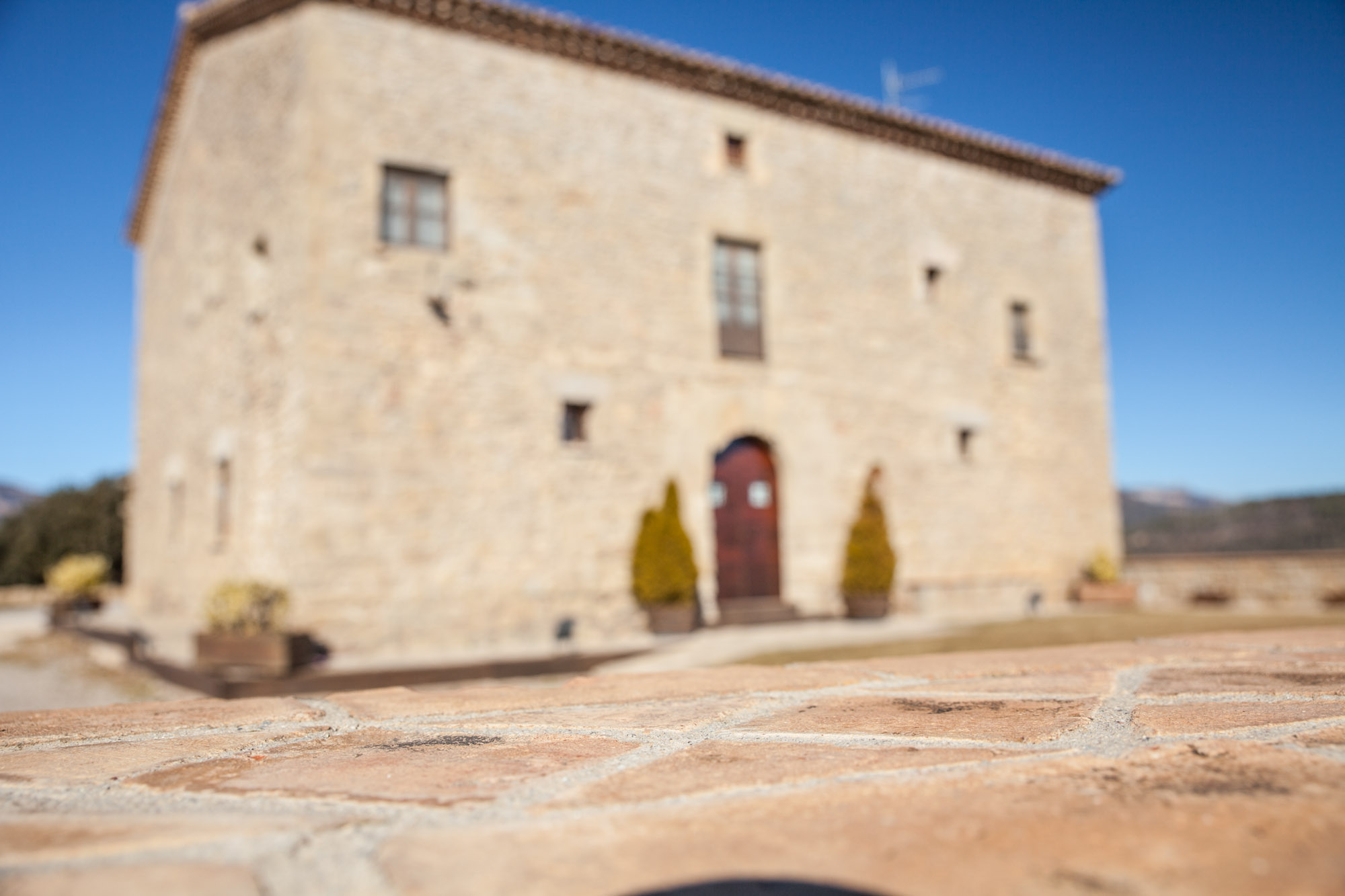
Discover Berguedà from La Tor de Montclar
15th-century farmhouse with indoor pool, ideal for groups of up to 20 guests
Check availabilityRelated articles
Mobile Phone Coverage in the Berguedà: Signal Maps, Dead Zones and Connectivity Tips
Read more →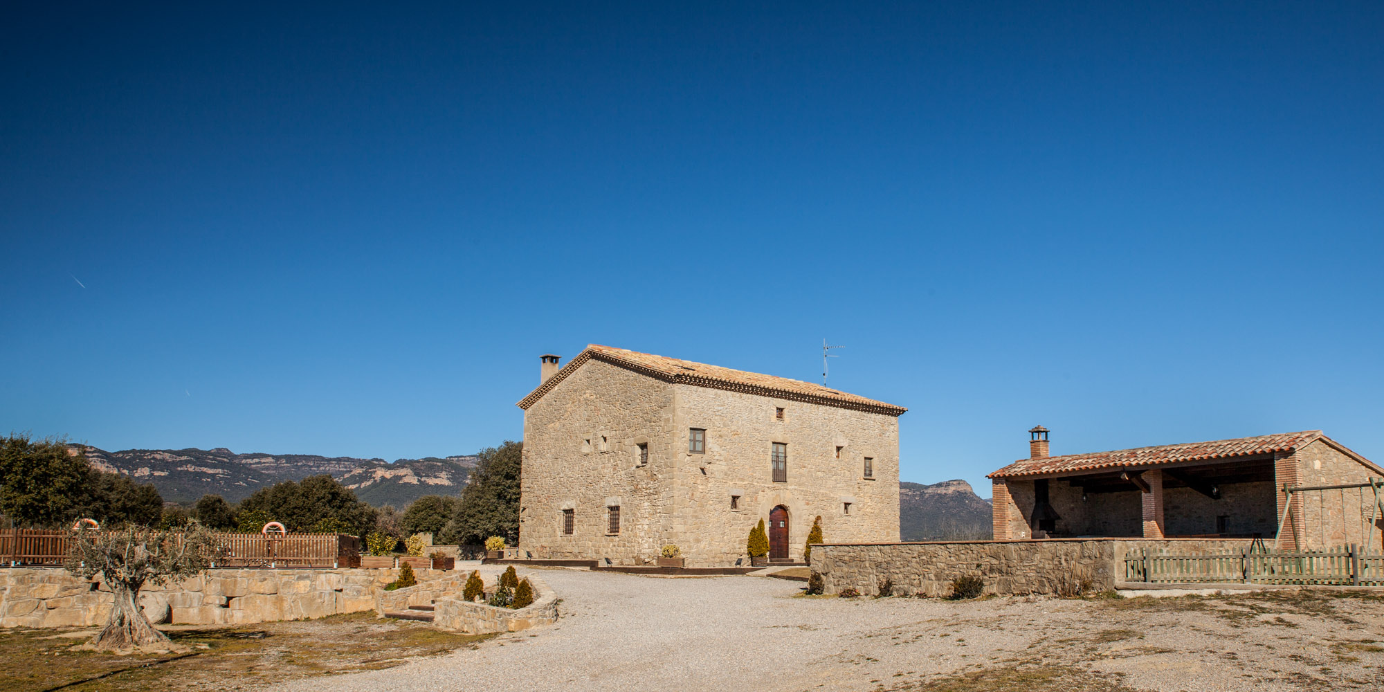
Mountain Safety in the Berguedà: Precautions, Risks and Emergency Contacts
Read more →
Essential Mountain Packing List for Berguedà: Complete Gear Guide for International Hikers
Read more →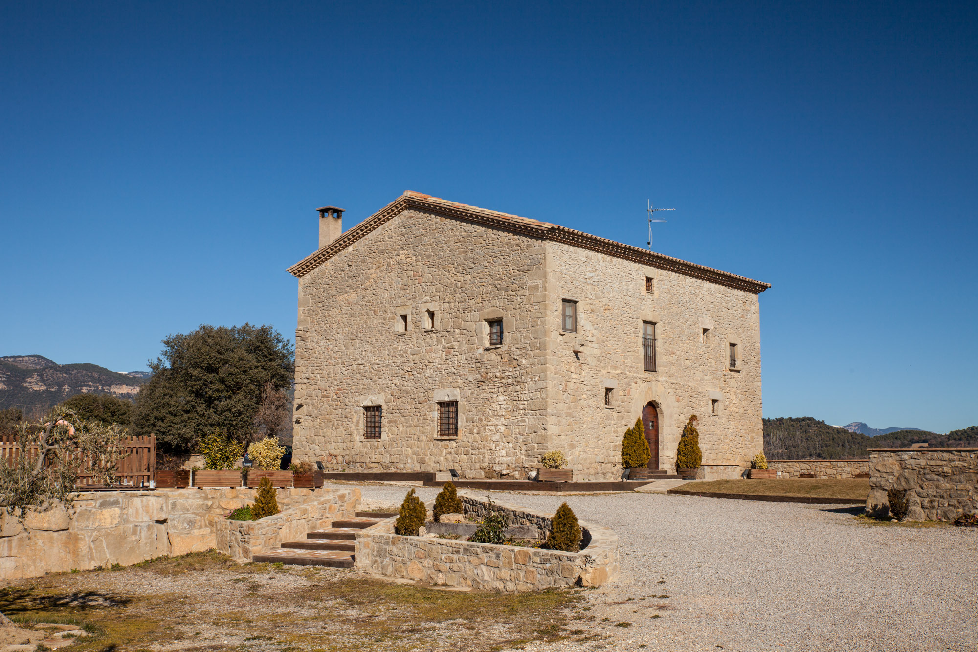
Weather and Climate in the Berguedà: Seasonal Guide, Temperatures and Forecast Sources
Read more →